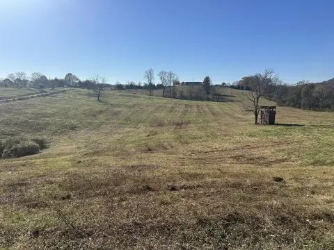
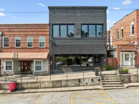
Hilltop Dr Carthage, TN 37030
Property profile & analytics
Hilltop Dr, Carthage, TN 37030
- Commercial land
- 2,060 SF
- 0.45 lot acres
Property ID
US80-1043604
The Realmo ID is a unique identifier assigned to every property, incorporating country codes and precise geo-coordinates for 300x300-foot land blocks. It enables standardized data collection and seamless integration of disparate sources such as ownership, tax, title data and physical specifications. By aggregating current and historical records, the Realmo ID powers advanced analytics and delivers deep, verifiable insights for real estate professionals.
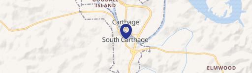
Location Intelligence
Current Use by Public Records
- Commercial land
Property Details for Hilltop Dr
- Year built
- 1978
- Lot size
- 0.45 lot acres
- Property type
- Commercial land
- APN
- 080054B B 01700M001
- APU
- 080054BB01700M001
Sales History
| Date | Price | Buyer | Seller | Deed Type | Mortgage |
|---|---|---|---|---|---|
| Oct 1, 1994 | $85,000 | Barbara Sutton | Dugan,kerry A Et | Grant Deed | — |
| — | — | Barbara Dillehay | — | Deed Of Trust · related | $55k · Smith County Bank |
| — | — | Barbara P Dillehay | — | Loan Modification · related | — |
| — | — | Billy Dillehay | — | Deed Of Trust · related | $5k · Cumberland Bank |
Value Estimations
based on Realmo’s proprietary methodology
-
AI approach
-
CAP approach
-
Comparable approach
-
Alternative Use
Get a detailed, property-specific estimation — fast and free
Location Insight
- Map
- Local Demand
- City
- Carthage
- County
- Smith
- State
- Tennessee
- Longitude
- -85.938
- Latitude
- 36.2564
- CBSA code
- 34980
- CBSA name
- NASHVILLE-DAVIDSON--MURFREESBORO--FRANKLIN, TN METROPOLITAN STATISTICAL AREA
Property Tax & Assessments
Tax date
Tax Amount
Assessed Land Value
Assessed Improvement Value
Total Assessed Value
Applied Tax Rate
Land Market Value
Improvement Market Value
Total Market Value
0
$0.00
$760
$0.00
$760
-
$1,900
$0.00
$1,900