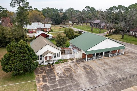
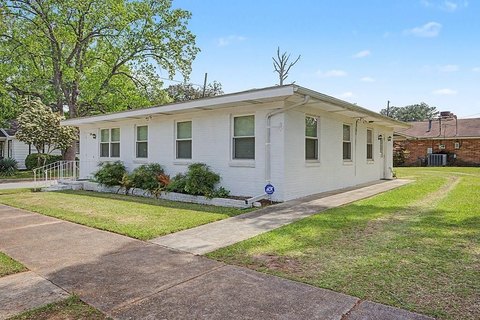
Forrester Dr Dawson, GA 39842
Property profile & analytics
Forrester Dr, Dawson, GA 39842
- Retail space
- 60,329 SF
- 22.53 lot acres
Property ID
US22-3163894
The Realmo ID is a unique identifier assigned to every property, incorporating country codes and precise geo-coordinates for 300x300-foot land blocks. It enables standardized data collection and seamless integration of disparate sources such as ownership, tax, title data and physical specifications. By aggregating current and historical records, the Realmo ID powers advanced analytics and delivers deep, verifiable insights for real estate professionals.
Location Intelligence
Current Use by Public Records
- Retail space
Property Details for Forrester Dr
- Year built
- 1975
- Lot size
- 22.53 lot acres
- Zone code
- 1
- Property type
- Retail space
- APN
- 042B-002
- APU
- 042B002
Sales History
| Date | Price | Buyer | Seller | Deed Type | Mortgage |
|---|---|---|---|---|---|
| Nov 23, 2022 | $1,000,000 | Loc And Sons LLC | 2601 Dawson Road Investments LLC | Limited Warranty Deed | — |
| Apr 28, 2022 | $975,000 | Star Realco LLC | 2601 Dawson Road Investments LLC | Warranty Deed | — |
| Jan 22, 2021 | $890,000 | 2601 Dawson Road Investments LLC | Richard D Guagliardo | Limited Warranty Deed | $889k · West Joseph M |
| Dec 22, 2006 | $240,000 | Autumn Crest LP | Richard D Guagliardo | Deed | — |
| Dec 19, 2006 | — | Richard D Guagliardo | Vsc Dawson LLC | Deed | — |
Value Estimations
based on Realmo’s proprietary methodology
-
AI approach
- Method
- Estimation
- Statistic approach
- $980,000
- ML approach
- $1,155,000
Get a detailed, property-specific estimation — fast and free
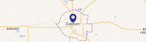
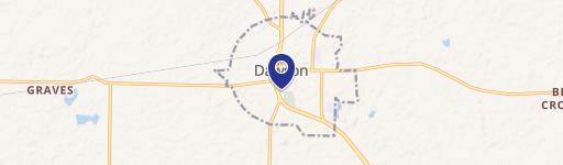
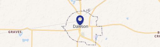
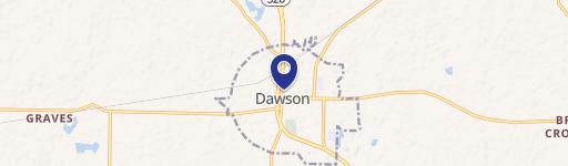
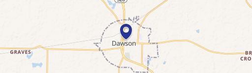
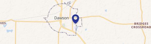
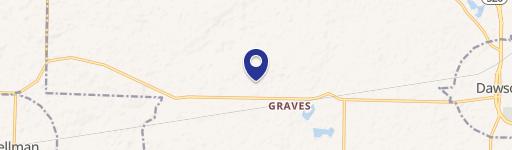
Location Insight
- Map
- Local Demand
- City
- Dawson
- County
- Terrell
- State
- Georgia
- Longitude
- -84.4395
- Latitude
- 31.761
- CBSA code
- 10500
- CBSA name
- ALBANY, GA METROPOLITAN STATISTICAL AREA
Property Tax & Assessments
Tax date
Tax Amount
Assessed Land Value
Assessed Improvement Value
Total Assessed Value
Applied Tax Rate
Land Market Value
Improvement Market Value
Total Market Value
2023
$12,126
$161,644
$120,347
$281,991
-
$404,110
$300,868
$704,978