Dylan Dr South Bend, IN 46628
Property profile & analytics
Dylan Dr, South Bend, IN 46628
- Industrial land
- 2.35 lot acres
Property ID
US31-2690828
The Realmo ID is a unique identifier assigned to every property, incorporating country codes and precise geo-coordinates for 300x300-foot land blocks. It enables standardized data collection and seamless integration of disparate sources such as ownership, tax, title data and physical specifications. By aggregating current and historical records, the Realmo ID powers advanced analytics and delivers deep, verifiable insights for real estate professionals.
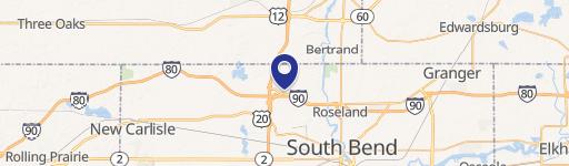
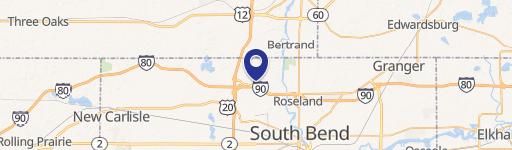
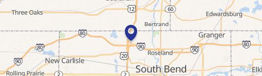
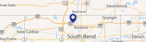
Location Intelligence
Current Use by Public Records
- Industrial land
Property Details for Dylan Dr
- Lot size
- 2.35 lot acres
- Property type
- Industrial land
- APN
- 71-03-17-353-005.000-009
- APU
- 710317353005000009
Sales History
| Date | Price | Buyer | Seller | Deed Type | Mortgage |
|---|---|---|---|---|---|
| Jan 27, 2026 | — | Premiere Real Estate Holdings III L | Premiere Real Estate Holdings I LLC | Warranty Deed | $570k · Wells Fargo Bank |
| Sep 10, 2025 | — | Premiere Real Estaet Holdings I LLC | Rew LLC | Warranty Deed | $90M · Old National Bank |
| Sep 3, 2025 | — | Premiere Real Estate Holdings I LLC | Rew LLC | Warranty Deed | $90M · Old National Bank |
Value Estimations
based on Realmo’s proprietary methodology
-
AI approach
-
CAP approach
-
Comparable approach
-
Alternative Use
Get a detailed, property-specific estimation — fast and free
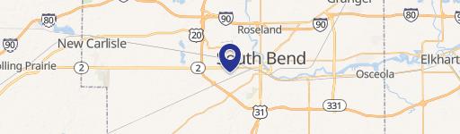
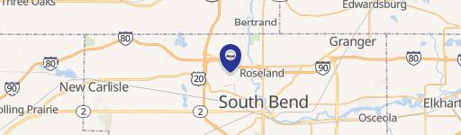
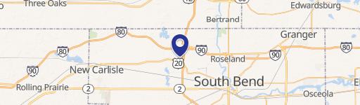
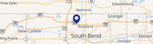
Location Insight
- Map
- Local Demand
- City
- South Bend
- County
- St. Joseph
- State
- Indiana
- Longitude
- -86.3295
- Latitude
- 41.7376
- CBSA code
- 43780
- CBSA name
- SOUTH BEND-MISHAWAKA, IN-MI METROPOLITAN STATISTICAL AREA
Property Tax & Assessments
Tax date
Tax Amount
Assessed Land Value
Assessed Improvement Value
Total Assessed Value
Applied Tax Rate
Land Market Value
Improvement Market Value
Total Market Value
2023
$85
$2,500
$0.00
$2,500
-
$2,500
$0.00
$2,500