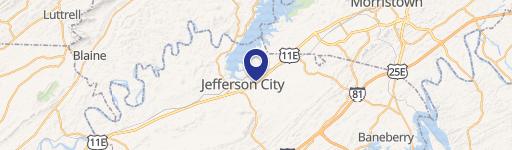
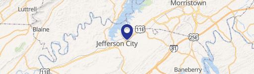
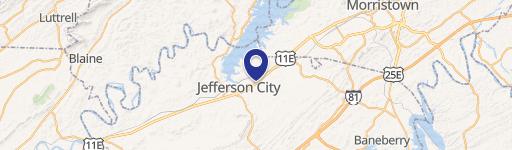
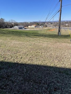
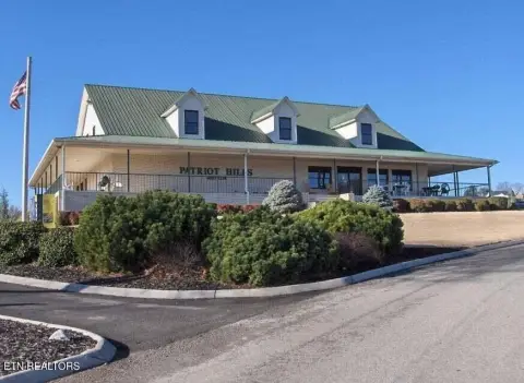
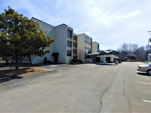
884 Hwy 11th E Jefferson City, TN 37760-4929
Property profile & analytics
884 Hwy 11th E, Jefferson City, TN 37760-4929
- Commercial land
- 7,500 SF
- 1.25 lot acres
Property ID
US80-1873580
The Realmo ID is a unique identifier assigned to every property, incorporating country codes and precise geo-coordinates for 300x300-foot land blocks. It enables standardized data collection and seamless integration of disparate sources such as ownership, tax, title data and physical specifications. By aggregating current and historical records, the Realmo ID powers advanced analytics and delivers deep, verifiable insights for real estate professionals.
Location Intelligence
Current Use by Public Records
- Commercial land
Property Details for 884 Hwy 11th E
- Year built
- 1982
- Lot size
- 1.25 lot acres
- Zone code
- R-1
- Property type
- Commercial land
- APN
- 015 02602
- APU
- 1502602
Sales History
| Date | Price | Buyer | Seller | Deed Type | Mortgage |
|---|---|---|---|---|---|
| Apr 7, 2006 | $50,000 | Quikrete Companies INC | 11-e2 Trust | Warranty Deed | — |
| Nov 8, 1999 | $165,000 | Quikrete Co | Covert,william | Grant Deed | — |
| Oct 21, 1994 | $223,000 | William Covert | Service Industri | Grant Deed | — |
| May 16, 1994 | $110,500 | Service Industries | Unknown | Grant Deed | — |
| Feb 1, 1990 | $117,500 | James R Graham | Unknown, | Grant Deed | — |
Value Estimations
based on Realmo’s proprietary methodology
-
AI approach
-
CAP approach
-
Comparable approach
-
Alternative Use
Get a detailed, property-specific estimation — fast and free
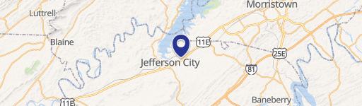
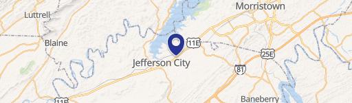
Location Insight
- Map
- Local Demand
- City
- Jefferson City
- County
- Jefferson
- State
- Tennessee
- Longitude
- -83.4524
- Latitude
- 36.1384
- CBSA code
- 34100
- CBSA name
- MORRISTOWN, TN METROPOLITAN STATISTICAL AREA
Property Tax & Assessments
Tax date
Tax Amount
Assessed Land Value
Assessed Improvement Value
Total Assessed Value
Applied Tax Rate
Land Market Value
Improvement Market Value
Total Market Value
0
$0.00
$12,720
$0.00
$12,720
-
$31,800
$0.00
$31,800