85 Kurtz Rd Denver, PA 17517-9318
Property profile & analytics
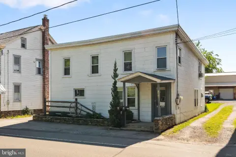
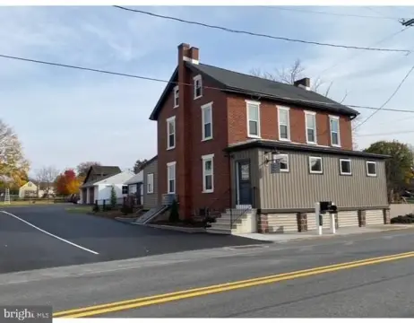
85 Kurtz Rd, Denver, PA 17517-9318
- Manufacturing properties
- 91,868 SF
- 28.30 lot acres
Property ID
US73-3514519
The Realmo ID is a unique identifier assigned to every property, incorporating country codes and precise geo-coordinates for 300x300-foot land blocks. It enables standardized data collection and seamless integration of disparate sources such as ownership, tax, title data and physical specifications. By aggregating current and historical records, the Realmo ID powers advanced analytics and delivers deep, verifiable insights for real estate professionals.
Location Intelligence
Current Use by Public Records
- Manufacturing properties
Property Details for 85 Kurtz Rd
- Year built
- 1997
- Construction
- STEEL FRAME
- Lot size
- 28.30 lot acres
- Zone code
- I-2
- Property type
- Manufacturing properties
- APN
- 080-06658-0-0000
- APU
- 800665800000
Sales History
| Date | Price | Buyer | Seller | Deed Type | Mortgage |
|---|---|---|---|---|---|
| Mar 8, 2013 | — | High Concrete Group LLC | — | Deed Of Trust · related | $6.7M · Bank Of America |
| Apr 20, 2007 | $9,481,474 | High Concrete Group LLC | High Steel Structures INC | Grant Deed | — |
Value Estimations
based on Realmo’s proprietary methodology
-
CAP approach
- CAP Return
- Estimation
- 6%
- $8,525,000
- 6.5%
- $7,870,000
- 7%
- $7,310,000
-
Alternative Use
- Use
- Estimation
- INDUSTRIAL (GENERAL)
- $8,915,000 Current use
Get a detailed, property-specific estimation — fast and free
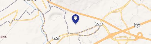
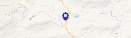
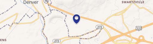
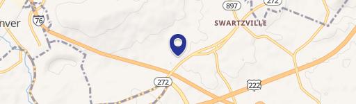
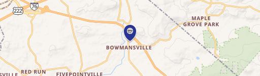
Location Insight
- Map
- Local Demand
- City
- Denver
- County
- Lancaster
- State
- Pennsylvania
- Longitude
- -76.1149
- Latitude
- 40.2256
- CBSA code
- 29540
- CBSA name
- LANCASTER, PA METROPOLITAN STATISTICAL AREA
Property Tax & Assessments
Tax date
Tax Amount
Assessed Land Value
Assessed Improvement Value
Total Assessed Value
Applied Tax Rate
Land Market Value
Improvement Market Value
Total Market Value
2024
$150,556
$1,032,500
$5,011,800
$6,044,300
-
$1,032,500
$5,011,800
$6,044,300