77 Blackstrap Rd Cumberland, ME 04021-3026
Industrial District (I). The purpose of the Industrial District is to provide controlled areas for manufacturing, production, processing, treatment, research, warehousing and distribution as well as other compatible but less intensive uses with the goal of creating employment opportunities within the Town of Cumberland. A. The following uses are permitted in…
Cap rate
Implied · in-place · derived from last sale + estimated NOIValue
AI, CAP & Alternative Use estimations · Realmo proprietary blendProperty tax & assessments
Tax year 2023Comparables
6 recent transactions · within 1.5 miComparable in this City


Similar Nearby for Sale


Property description
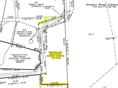
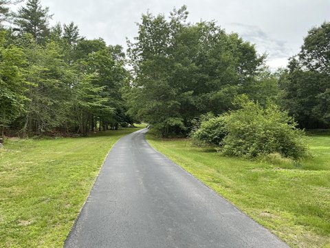
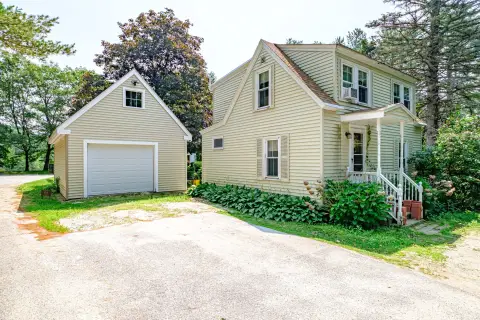
Physical attributes from public recordsZoning & alternative use
I · Cumberland, MEIndustrial District (I). The purpose of the Industrial District is to provide controlled areas for manufacturing, production, processing, treatment, research, warehousing and distribution as well as other compatible but less intensive uses with the goal of creating employment opportunities within the Town of Cumberland. A. The following uses are permitted in the Industrial District, subject to site plan review: (1) Industrial. (2) Low impact industrial. (3) Extraction of earth materials, subject to the provisions of § 315-49 . (4) Aggregate processing. (5) Boarding kennels. (6) Business and professional offices. (7) Catering. [Added 6-1-2015 [1] ] [1]
Costs & Benchmarks
Operating expenses, capex projections, utility benchmarks, and submarket comparables — all in one view.
Risks
Flood, climate, environmental, title, and tenant-concentration risk — surfaced with mitigations and source citations.


