Wooded Wetland Land
For Sale
$30,000
Route 100, Cumberland, ME 04021
Land, Cumberland, ME
Property SizeContact for details
Lot Size6.23 Acres
Days on Market48
Property Features for Route 100
General Information
Property type
Land
Property subtype
Other
Zoning
VCC
Parking features
None
Lot features
Wooded, Near Turnpike/ Interstate, Near Town
Standard status
Active
Lot size
6.23 Acres
Taxes and HOA fees
Tax Year
2025
Tax Annual Amount
1246
Utilities
Sewer type
Septic Needed
Listing Agency:
Maine Real Estate Co
(207) 292-1030
Listed By:
Bailey Pate · License #DB927429
(207) 229-5449
Added: Jul 31
Changed: Sep 6
Last Checked: Sep 16 at 11:06AM
MLS# 1674343
Copyright © 2026 Maine Listings. All rights reserved. All information provided by the listing agent/broker is deemed reliable but is not guaranteed and should be independently verified.
Investment Insights
Based on property information with market context.
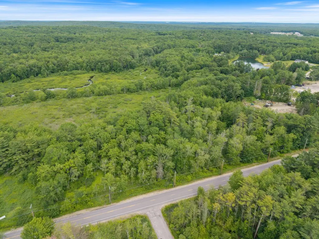
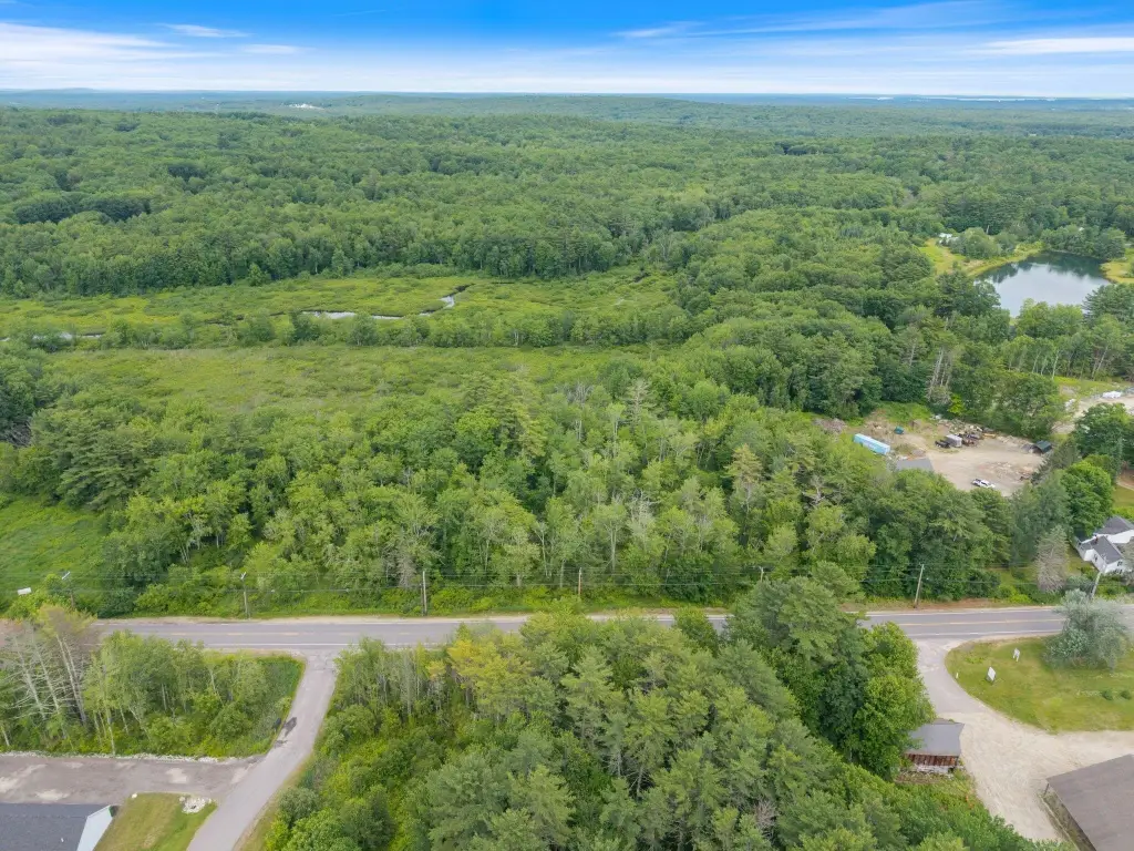
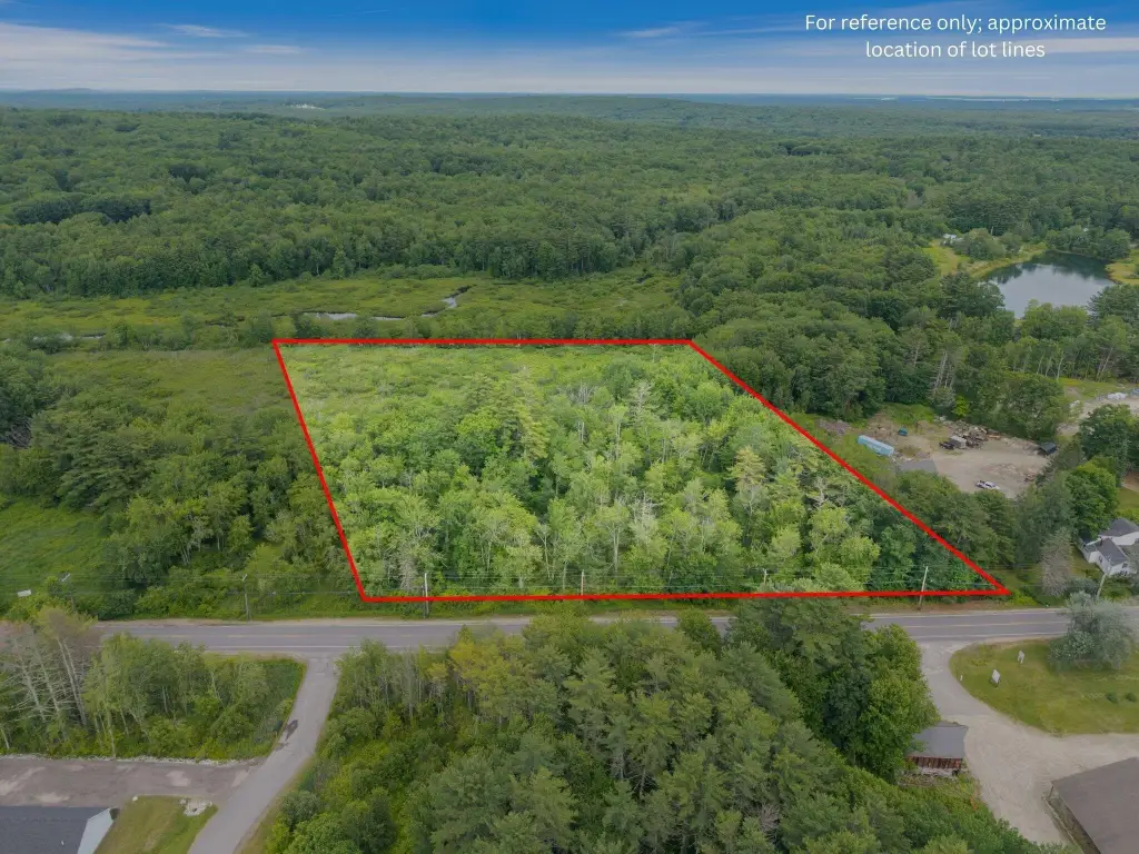
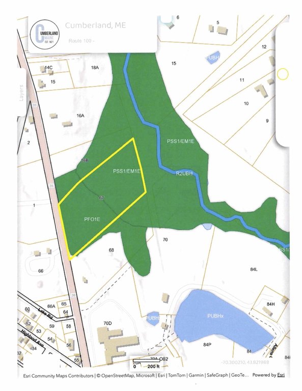
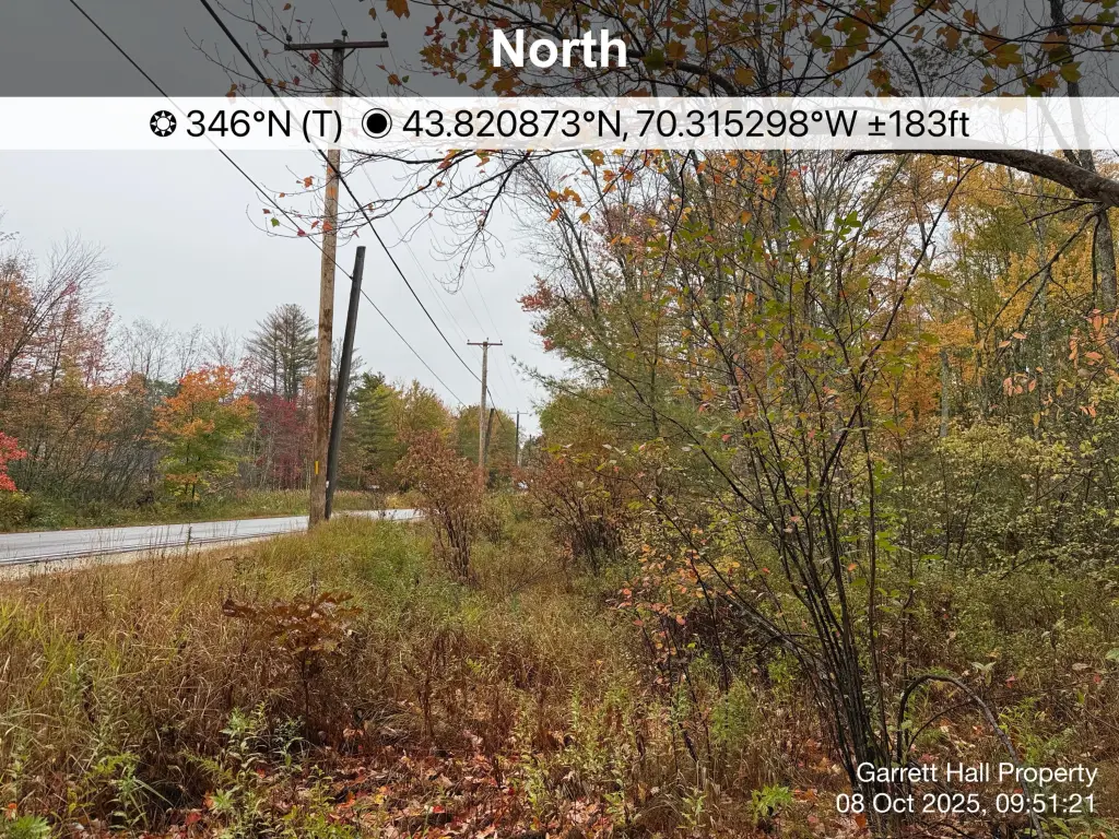
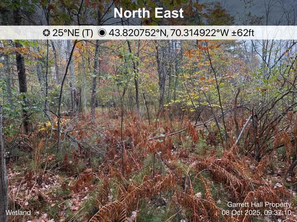
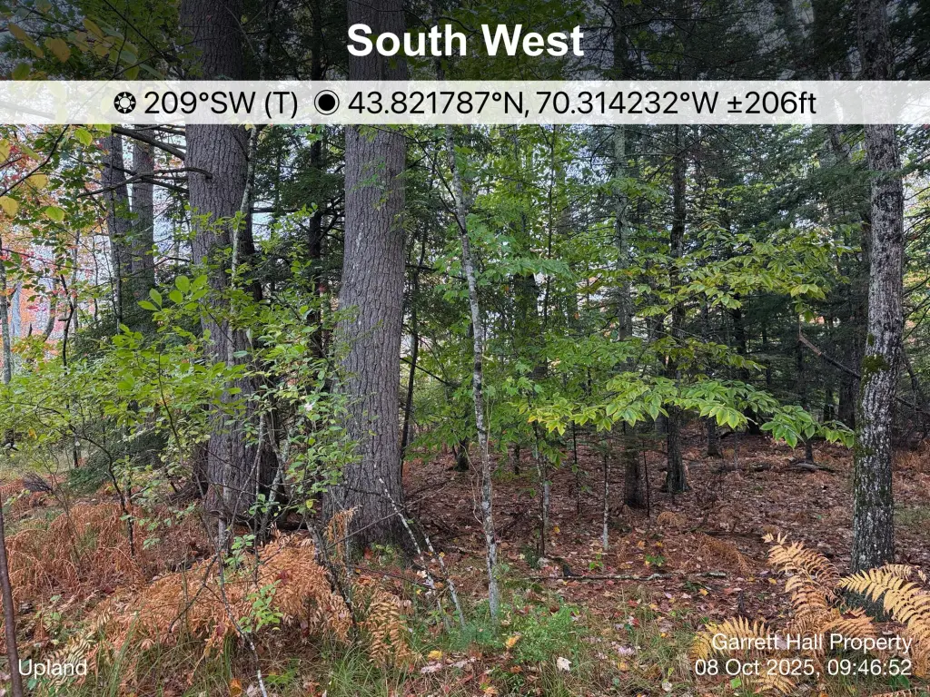
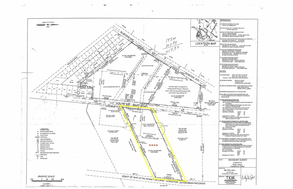
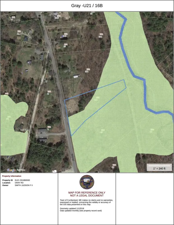
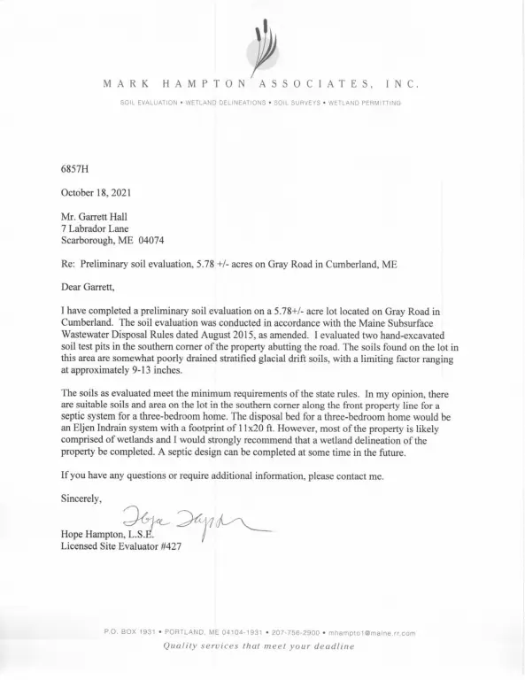
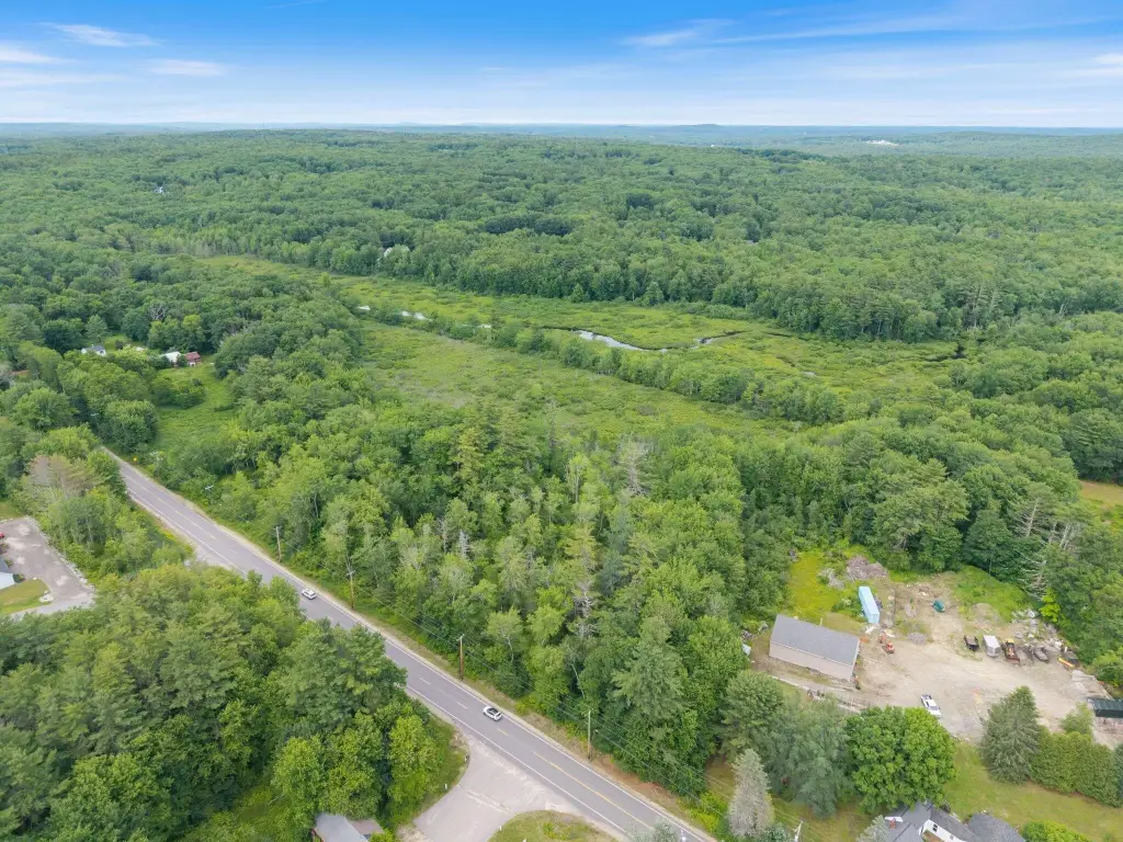
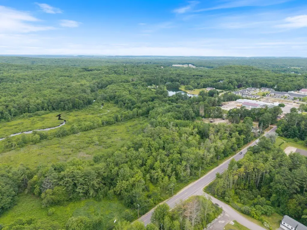
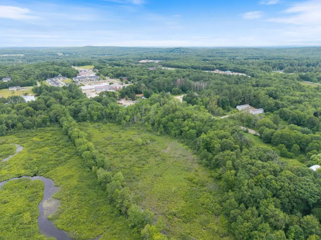
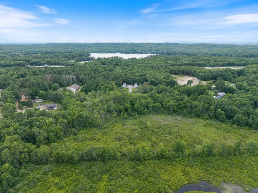
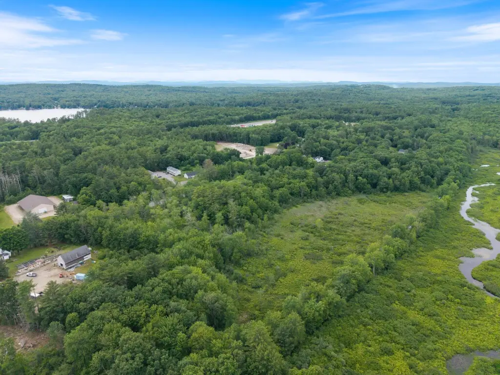
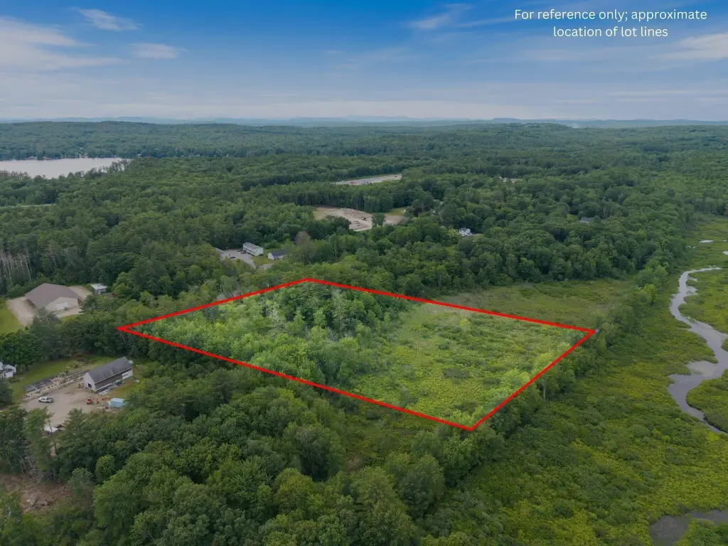
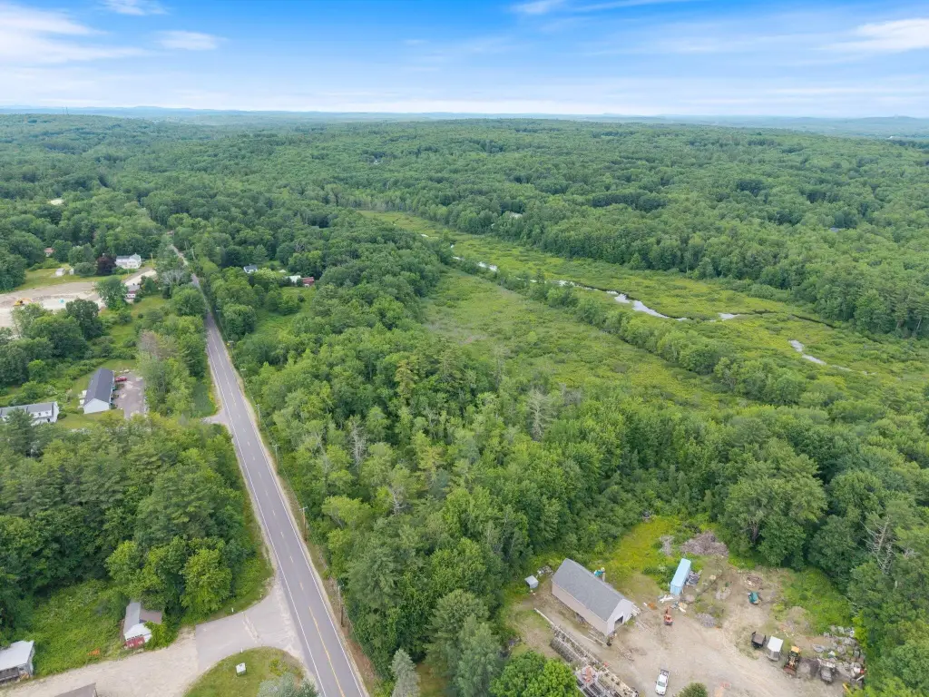
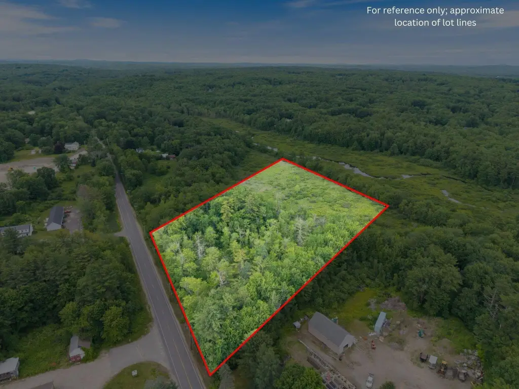
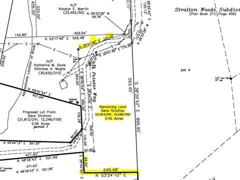
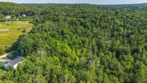
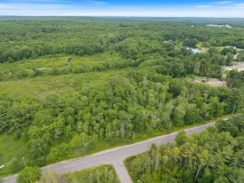
This 6.23-acre surveyed parcel in Cumberland, Maine, is a wooded tract along Route 100 with mixed woodland, wetland vegetation, and river corridor habitat. A 2025 environmental field review estimates that more than 95 percent of the site is wetland, including Wetlands of Special Significance, and identifies an approximately 40-by-50-foot upland island. The review notes that construction and septic installation in that area would be very difficult.
The property is zoned VCC, does not currently allow new residential uses, and is subject to a shoreland zoning overlay. Part of the parcel is mapped in FEMA Flood Zone A. No driveway, parking, electricity, gas, water, or sewer is installed; septic would be needed. Existing survey, environmental, soil, flood-mapping, and related records are available. Any potential use or development requires independent verification and applicable municipal, state, and federal approvals.
The property is zoned VCC, does not currently allow new residential uses, and is subject to a shoreland zoning overlay. Part of the parcel is mapped in FEMA Flood Zone A. No driveway, parking, electricity, gas, water, or sewer is installed; septic would be needed. Existing survey, environmental, soil, flood-mapping, and related records are available. Any potential use or development requires independent verification and applicable municipal, state, and federal approvals.
Key Highlights
- 6.23‑acre surveyed parcel along Route 100 in Cumberland, ME
- 2025 review estimates more than 95 percent of the site is wetland
- Approximately 40 by 50‑foot upland island identified on the property
Property Analytics
Unlock full access to Insights
Subscribe to Realmo Intelligence
Open Analytics
Current Use
Lease Details
Yes
Highway access
Yes
Paved road access
Location Intelligence
Trade Area within ½ mile
89
Businesses Nearby
Explore this area
Business Placement
Demographics for 04021, ME
6,729
Population
2,428
Households
2.8
Avg Household Size
42
Median Age
70%
College-Educated
99%
High-School Grad
20.5 sq mi
ZIP Area
328
Density / Sq Mi
$145,833
Median Household Income
$70,304
Median Earnings
$506,800
Median Home Value
Check the figures for this property
Cap Rate, Value Estimation, Potential NOI and more
View Realmo Analytics

Questions? Ask Rey
Realmo’s AI knows this listing — price, zoning, demand, history. Ask anything.




Frequently Asked Questions
What type of property is this?
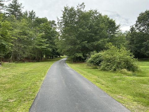
Land - Wooded acreage along a paved public road with extensive wetlands, VCC zoning, and no installed utilities or access improvements.
Where is this land located?
The property is located at Route 100 Cumberland, ME.
What is the asking price?
The asking price for this property is $30,000.
What are key features of this property?
This property features: 6.23‑acre surveyed parcel along Route 100 in Cumberland, ME; 2025 review estimates more than 95 percent of the site is wetland; Approximately 40 by 50‑foot upland island identified on the property


