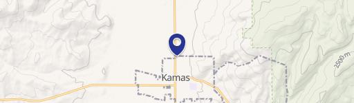
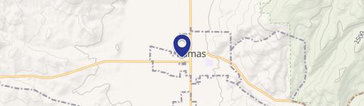
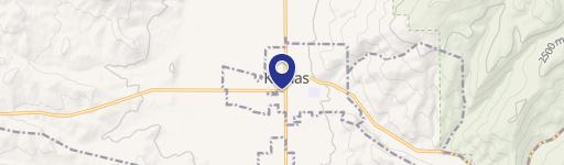
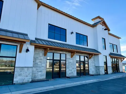
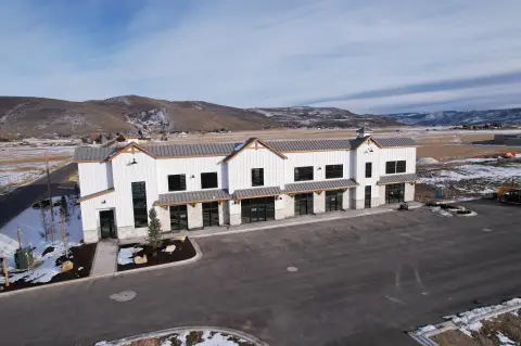
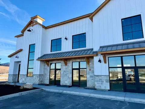
738 State Rd 35 Kamas, UT 84036-9265
Property profile & analytics
738 State Rd 35, Kamas, UT 84036-9265
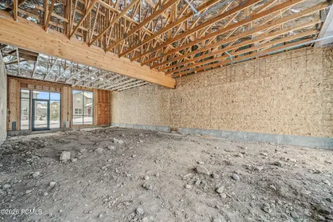
- Commercial real estate
- 9.64 lot acres
Property ID
US86-0722043
The Realmo ID is a unique identifier assigned to every property, incorporating country codes and precise geo-coordinates for 300x300-foot land blocks. It enables standardized data collection and seamless integration of disparate sources such as ownership, tax, title data and physical specifications. By aggregating current and historical records, the Realmo ID powers advanced analytics and delivers deep, verifiable insights for real estate professionals.
Location Intelligence
Current Use by Public Records
- Commercial real estate
Property Details for 738 State Rd 35
- Lot size
- 9.64 lot acres
- Property type
- Commercial real estate
- APN
- FT-84
- APU
- FT84
Sales History
| Date | Price | Buyer | Seller | Deed Type | Mortgage |
|---|---|---|---|---|---|
| Mar 7, 2022 | — | Premier Storage INC | Nicholas James Berry | Special Warranty Deed | $1.3M · Premier Storage INC |
| May 3, 2021 | — | Utah Department Of Transportation | Nicholas James Berry | Warranty Deed | — |
| Aug 31, 2020 | — | Nicholas James Berry | Misty Shawcroft | Personal Representative Deed | $150k · Holladay Bank And Trust |
| Feb 1, 2007 | — | Bill H Crittenden | Crittenden Properties LLC | Quit Claim Deed · related | — |
| — | — | Bill H Crittenden | — | Deed Of Trust · related | $25k · Robert R Garrett |
Value Estimations
based on Realmo’s proprietary methodology
-
AI approach
- Method
- Estimation
- ML approach
- $585,000
Get a detailed, property-specific estimation — fast and free
Location Insight
- Map
- Local Demand
- City
- Kamas
- County
- Summit
- State
- Utah
- Longitude
- -111.265
- Latitude
- 40.6096
- CBSA code
- 25720
- CBSA name
- HEBER, UT MICROPOLITAN STATISTICAL AREA
Property Tax & Assessments
Tax date
Tax Amount
Assessed Land Value
Assessed Improvement Value
Total Assessed Value
Applied Tax Rate
Land Market Value
Improvement Market Value
Total Market Value
2023
$51,184
$1,679,672
$6,625,338
$8,305,010
-
$1,679,672
$6,625,338
$8,305,010