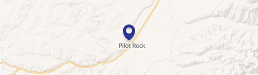
700 Cedar St Pilot Rock, OR 97868-6757
IGHT INDUSTRIAL ZONE § 18.40.010 Permitted uses. § 18.40.020 Conditional uses. § 18.40.030 Dimensional standards. § 18.40.040 Limitations on use. § 18.40.050 Site review. § 18.40.060 Performance standards. Chapter 18.45 M-2 HEAVY INDUSTRIAL ZONE § 18.45.010 Permitted uses. § 18.45.020 Conditional uses. § 18.45.030 Dimensional standards. § 18.45.040 Limitatio…
Cap rate
Implied · in-place · derived from last sale + estimated NOIValue
AI, CAP & Alternative Use estimations · Realmo proprietary blendProperty tax & assessments
Tax year 2023Comparables
6 recent transactions · within 1.5 miComparable in this City


Property description
Physical attributes from public recordsZoning & alternative use
M-2 · Pilot Rock, ORIGHT INDUSTRIAL ZONE § 18.40.010 Permitted uses. § 18.40.020 Conditional uses. § 18.40.030 Dimensional standards. § 18.40.040 Limitations on use. § 18.40.050 Site review. § 18.40.060 Performance standards. Chapter 18.45 M-2 HEAVY INDUSTRIAL ZONE § 18.45.010 Permitted uses. § 18.45.020 Conditional uses. § 18.45.030 Dimensional standards. § 18.45.040 Limitations on use. Chapter 18.50 POS PERMANENT OPEN SPACE ZONE § 18.50.010 Permitted uses.
Costs & Benchmarks
Operating expenses, capex projections, utility benchmarks, and submarket comparables — all in one view.
Risks
Flood, climate, environmental, title, and tenant-concentration risk — surfaced with mitigations and source citations.


