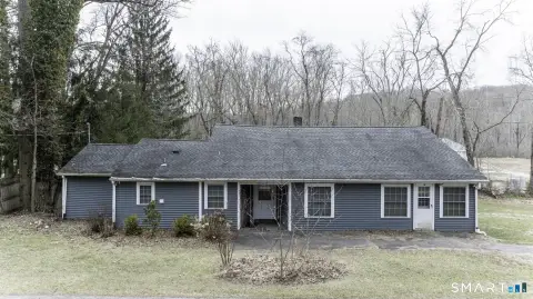
7 Edmund Rd Newtown, CT 06470-1650
Property profile & analytics
7 Edmund Rd, Newtown, CT 06470-1650
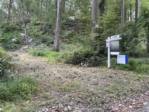
- Warehouses
- 158,754 SF
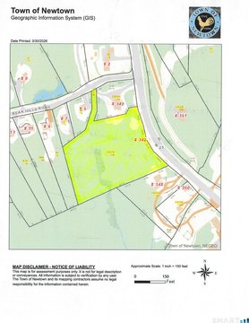
- 17.74 lot acres
Property ID
US15-0282704
The Realmo ID is a unique identifier assigned to every property, incorporating country codes and precise geo-coordinates for 300x300-foot land blocks. It enables standardized data collection and seamless integration of disparate sources such as ownership, tax, title data and physical specifications. By aggregating current and historical records, the Realmo ID powers advanced analytics and delivers deep, verifiable insights for real estate professionals.
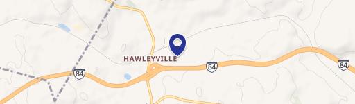
Location Intelligence
Current Use by Public Records
- Warehouses
Property Details for 7 Edmund Rd
- Year built
- 1972
- Construction
- MASONRY/CONCRETE MASONRY UNITS (CMUS)
- Lot size
- 17.74 lot acres
- Zone code
- M-1
- Property type
- Warehouses
- APN
- NEWT M:25 B:2 L:4
- APU
- NEWTM25B2L4
Sales History
| Date | Price | Buyer | Seller | Deed Type | Mortgage |
|---|---|---|---|---|---|
| Dec 12, 2023 | — | C B Brookfield LLC | — | Deed · related | $5M · Tompkins Community Bank |
| Jun 6, 2012 | $1 | Cb Brookfield LLC | Pateley Assoc LLC | Warranty Deed | — |
| Jun 6, 2012 | — | Cb Brookfield LLC | — | Deed Of Trust · related | $2.4M · Mahopac National Bank |
| Oct 23, 2001 | — | Pateley Assoc LLC | — | Deed Of Trust · related | $2.1M · Morgan Stanley Dean |
Value Estimations
based on Realmo’s proprietary methodology
-
AI approach
-
CAP approach
-
Comparable approach
-
Alternative Use
Get a detailed, property-specific estimation — fast and free
Location Insight
- Map
- Local Demand
- City
- Newtown
- County
- Fairfield
- State
- Connecticut
- Longitude
- -73.3033
- Latitude
- 41.4227
- CBSA code
- 14860
- CBSA name
- BRIDGEPORT-STAMFORD-NORWALK, CT METROPOLITAN STATISTICAL AREA
Property Tax & Assessments
Tax date
Tax Amount
Assessed Land Value
Assessed Improvement Value
Total Assessed Value
Applied Tax Rate
Land Market Value
Improvement Market Value
Total Market Value
2023
$120,723
$889,180
$3,711,560
$4,600,740
-
$0.00
$0.00
$0.00