697 Westbrook Rd Brookville, OH 45309-8881
Property profile & analytics
697 Westbrook Rd, Brookville, OH 45309-8881
- Retail space
- 6,336 SF
- 3.97 lot acres
Property ID
US66-2234711
The Realmo ID is a unique identifier assigned to every property, incorporating country codes and precise geo-coordinates for 300x300-foot land blocks. It enables standardized data collection and seamless integration of disparate sources such as ownership, tax, title data and physical specifications. By aggregating current and historical records, the Realmo ID powers advanced analytics and delivers deep, verifiable insights for real estate professionals.
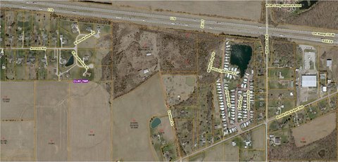
Location Intelligence
Current Use by Public Records
- Retail space
Property Details for 697 Westbrook Rd
- Year built
- 1963
- Construction
- FRAME
- Lot size
- 3.97 lot acres
- Property type
- Retail space
- APN
- L56 02704 0019
- APU
- L56027040019
Sales History
| Date | Price | Buyer | Seller | Deed Type | Mortgage |
|---|---|---|---|---|---|
| Dec 11, 2000 | — | Arthur R Bevington | Fisher,harry R & Linda E | Quit Claim Deed · related | — |
| Aug 10, 1998 | $235,000 | Harry R Fisher | Taylor,steve F & Margaret J | Grant Deed | $235k · Farmers State Bank |
| — | — | Arthur R Bevington | — | Deed Of Trust · related | $238k · Brookville Building & Sav Assn |
Value Estimations
based on Realmo’s proprietary methodology
-
AI approach
-
CAP approach
-
Comparable approach
-
Alternative Use
Get a detailed, property-specific estimation — fast and free
Location Insight
- Map
- Local Demand
- City
- Brookville
- County
- Montgomery
- State
- Ohio
- Longitude
- -84.4315
- Latitude
- 39.8302
- CBSA code
- 19430
- CBSA name
- DAYTON-KETTERING, OH METROPOLITAN STATISTICAL AREA
Property Tax & Assessments
Tax date
Tax Amount
Assessed Land Value
Assessed Improvement Value
Total Assessed Value
Applied Tax Rate
Land Market Value
Improvement Market Value
Total Market Value
2023
$2,711
$10,480
$22,350
$32,830
-
$29,950
$63,860
$93,810