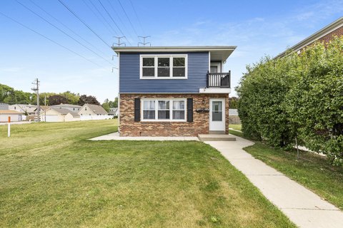
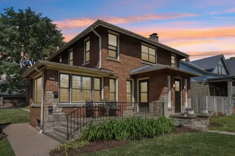
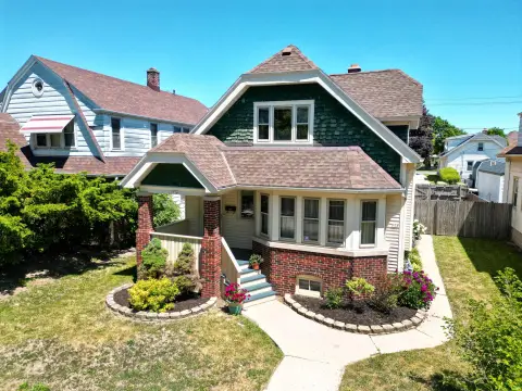
676 Hawley Rd Milwaukee, WI 53214-1955
Property profile & analytics
676 Hawley Rd, Milwaukee, WI 53214-1955
- Apartment buildings
- 21,474 SF
- 0.89 lot acres
Property ID
US92-0114550
The Realmo ID is a unique identifier assigned to every property, incorporating country codes and precise geo-coordinates for 300x300-foot land blocks. It enables standardized data collection and seamless integration of disparate sources such as ownership, tax, title data and physical specifications. By aggregating current and historical records, the Realmo ID powers advanced analytics and delivers deep, verifiable insights for real estate professionals.
Location Intelligence
Current Use by Public Records
- Robert Bradford UI/UX Design / Marketing & Advertising / (Bike/Boat/Book/etc) Store
Property Details for 676 Hawley Rd
- Year built
- 1977
- Lot size
- 0.89 lot acres
- Zone code
- RM1
- Property type
- Apartment buildings
- APN
- 421-9978-100
- APU
- 4219978100
Sales History
| Date | Price | Buyer | Seller | Deed Type | Mortgage |
|---|---|---|---|---|---|
| Jan 16, 2019 | — | Wjl Properties LLC | — | Grant Deed · related | $6.5M · North Shore Bk |
| Dec 27, 2018 | — | Wjl Properties LLC | — | Grant Deed · related | $2.9M · North Shore Bk |
| — | — | Wjl Properties LLC | — | Deed Of Trust · related | $2.6M · North Shore Bk |
| — | — | Wjl Properties LLC | — | Loan Modification · related | $6.6M · North Shore Bk |
| — | — | Wjl Properties 660 LLC | — | Loan Modification · related | $2.9M · North Shore Bk |
Value Estimations
based on Realmo’s proprietary methodology
-
CAP approach
- CAP Return
- Estimation
- 6%
- $3,335,000
- 6.5%
- $3,075,000
- 7%
- $2,855,000
-
Comparable approach
- Method
- Estimation
- Statistic Estimate
- $4,044,000
- AI Estimate
- $2,650,000
Market price range: $1.74M - $5.72MMarket price range: $939k - $4.46M
Get a detailed, property-specific estimation — fast and free
Location Insight
- Map
- Local Demand
- City
- Milwaukee
- County
- Milwaukee
- State
- Wisconsin
- Longitude
- -87.9856
- Latitude
- 43.0245
- CBSA code
- 33340
- CBSA name
- MILWAUKEE-WAUKESHA-WEST ALLIS, WI METROPOLITAN STATISTICAL AREA
Property Tax & Assessments
Tax date
Tax Amount
Assessed Land Value
Assessed Improvement Value
Total Assessed Value
Applied Tax Rate
Land Market Value
Improvement Market Value
Total Market Value
2022
$47,756
$144,000
$1,861,700
$2,005,700
-
$144,000
$1,861,700
$2,005,700