
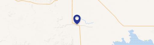
61687 Lawen Rd, Burns, OR 97720
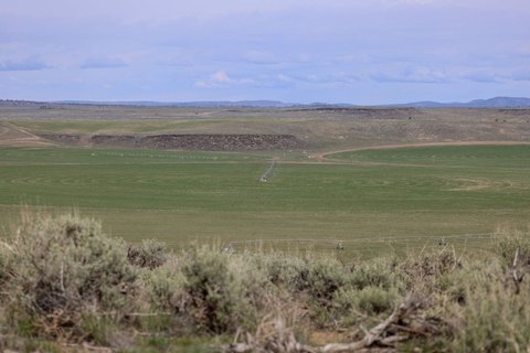
This exceptional Eastern Oregon ranch, located near Burns in Harney County (zip code 97720), encompasses 2,370.56 deeded acres. The property boasts 1,148.80 acres with water rights, ideal for cattle grazing, supporting 250-375 cow-calf pairs from April to October, supplemented by a BLM permit. Approximately 220 acres consist of native hillsides, 158 acres are cleared farmland (without water rights), and 840 acres are native flatlands bordering a lake. The ranch includes 1.76 acres and 2.00 acres of improved land near the lake and Dog Mountain, respectively. Improvements include a 2,690 square foot house with ongoing kitchen, bathroom, and siding renovations, plus multiple outbuildings and a new set of working corrals. The ranch has a history as a duck hunting club and currently produces 30-40 tons of meadow hay annually. This property presents a balanced cattle operation opportunity, with the potential for expansion. The asking price is $2,850,000.
Cap rate
Implied · in-place · derived from last sale + estimated NOIValue
AI, CAP & Alternative Use estimations · Realmo proprietary blendComparables
6 recent transactions · within 1.5 miComparable in this City


Similar Nearby for Sale
Property description
Physical attributes from public recordsZoning & alternative use
No recorded transactions found for this property.
Costs & Benchmarks
Operating expenses, capex projections, utility benchmarks, and submarket comparables — all in one view.
Risks
Flood, climate, environmental, title, and tenant-concentration risk — surfaced with mitigations and source citations.


