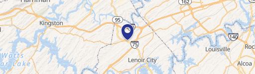
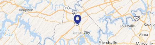
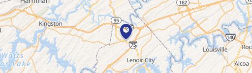
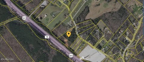
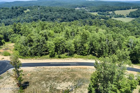
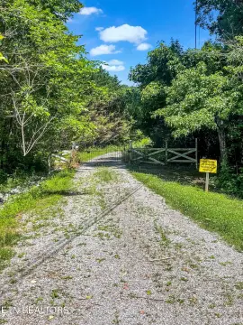
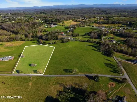
5747 Hwy 321st N Lenoir City, TN 37771-7542
408. C-3, Highway Commercial District. The C-3, Highway Commercial District is established to p rovide for g eneral commercial activity along major collectors and arterial highways. The regulations are designed to encourage the proper development of commercial areas in such a manner as to d iscourage the p roblems no rmally associated with strip commercial d…
Cap rate
Implied · in-place · derived from last sale + estimated NOIValue
AI, CAP & Alternative Use estimations · Realmo proprietary blendProperty tax & assessments
Comparables
6 recent transactions · within 1.5 miComparable in this City


Similar Nearby for Sale


Similar Nearby for Lease


Property description
Physical attributes from public recordsZoning & alternative use
C-3 · Lenoir City, TN408. C-3, Highway Commercial District. The C-3, Highway Commercial District is established to p rovide for g eneral commercial activity along major collectors and arterial highways. The regulations are designed to encourage the proper development of commercial areas in such a manner as to d iscourage the p roblems no rmally associated with strip commercial development; to encourage concentrations o f commercial activities; and to p reserve the traffic carrying capacity of the major collectors and arterials upon which such uses are located. Within the C-3, Highway Commercial District the following regulations shall apply: 31 1. Permitted uses and structures. a. Any use permitted in the C-2, Central Business District. b. Motels and tourist courts. c. Service repair establishments, including service stations, automobile sales, and repair garages. d. Tire recapping or re-treading. e. Veterinary establishments p rovided that all animals shall b e k ept inside soundproof, air-conditioned buildings. f. Wholesale and distributing center not involving over five thousand (5,000) square feet for storage of wares. g. Shopping centers, including the location o f more than on e bu ilding on a lot provided such buildings share a common fire resistant wall. h. Home Improvement Stores 2. Prohibited u ses and structures. Any u se o r structure no t specifically p ermitted is prohibited. 3. Area regulations. The p rincipal bu ilding shall b e located so as to comply with the following requirements: a. Minimum lot width at building setback line - 50 feet. b. Minimum depth of front y ard - 30 feet (the minimum setback requirement shall not apply to ov erhead canopies (open o f four sides) u tilized for automotive refueling systems ancillary to service stations, o r convenient shops. In no case however, shall said canopies b e located within ten (10) feet o f any fronting property line). c. Minimum depth of rear yard - 15 feet (except where rear access to buildings are provided in which case the rear yard shall be a minimum of 25 feet). d. Minimum width of side yards: 1 story building . . . . . 10 feet each 2 story building . . . . . 12 feet each 3 story building . . . . . 15 feet each e. Within the district, building heights may exceed those as provided for in section 11- 311, Maximum Building Height. The maximum bu ilding h eight shall no t exceed six stories or seventy feet provided, however, the following requirements are met: 1. Setbacks: 32 • front yard. .. 30 ’ plus .5’ ft. increase for each foot of building height over forty (40) ft • side yard . . 15 ’ plus .75’ ft.
Costs & Benchmarks
Operating expenses, capex projections, utility benchmarks, and submarket comparables — all in one view.
Risks
Flood, climate, environmental, title, and tenant-concentration risk — surfaced with mitigations and source citations.


