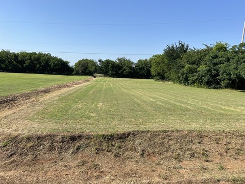
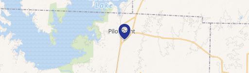
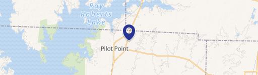
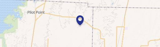
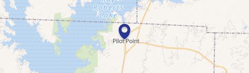
569 Randys Way Pilot Point, TX 76258-1717
Property profile & analytics
569 Randys Way, Pilot Point, TX 76258-1717
- Commercial real estate
- 1,735 SF
- 0.30 lot acres
Property ID
US83-1811358
The Realmo ID is a unique identifier assigned to every property, incorporating country codes and precise geo-coordinates for 300x300-foot land blocks. It enables standardized data collection and seamless integration of disparate sources such as ownership, tax, title data and physical specifications. By aggregating current and historical records, the Realmo ID powers advanced analytics and delivers deep, verifiable insights for real estate professionals.
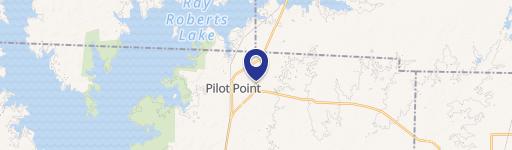
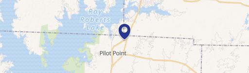
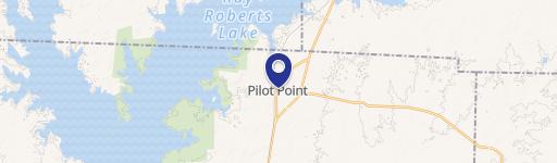
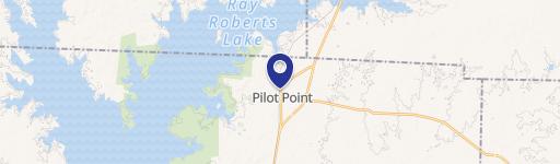
Location Intelligence
Current Use by Public Records
- Commercial real estate
Property Details for 569 Randys Way
- Lot size
- 0.30 lot acres
- Property type
- Commercial real estate
- APN
- R982359
- APU
- R982359
Sales History
| Date | Price | Buyer | Seller | Deed Type | Mortgage |
|---|---|---|---|---|---|
| Jun 13, 2024 | — | Bryan Lee Waser | Bryan Waser | Intrafamily Transfer · related | — |
| Feb 9, 2024 | — | Bryan Waser | Biltmore Homes LLC | Venders Lien | $154k · Planet Home Lending LLC |
Value Estimations
based on Realmo’s proprietary methodology
-
AI approach
-
CAP approach
-
Comparable approach
-
Alternative Use
Get a detailed, property-specific estimation — fast and free
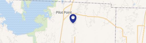
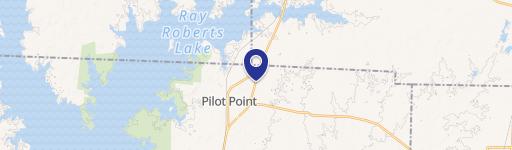
Location Insight
- Map
- Local Demand
- City
- Pilot Point
- County
- Denton
- State
- Texas
- Longitude
- -96.9474
- Latitude
- 33.4065
- CBSA code
- 19100
- CBSA name
- DALLAS-FORT WORTH-ARLINGTON, TX METROPOLITAN STATISTICAL AREA
Property Tax & Assessments
Tax date
Tax Amount
Assessed Land Value
Assessed Improvement Value
Total Assessed Value
Applied Tax Rate
Land Market Value
Improvement Market Value
Total Market Value
2023
$1,116
$81,675
$296,325
$378,000
-
$81,675
$296,325
$378,000