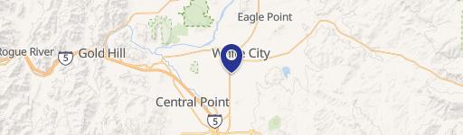
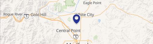
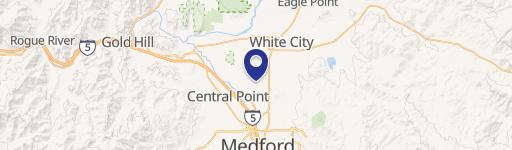
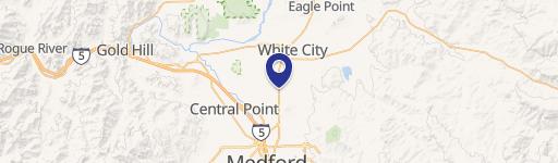
5077 Table Rock Rd Central Point, OR 97502-3233
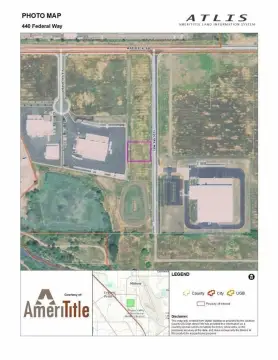
This 3.42-acre property at 5077 Table Rock Road, Central Point, OR 97502, offers a unique redevelopment opportunity. Located at the high-traffic "Four Corners" intersection of Vilas and Table Rock Roads, it boasts excellent visibility and convenient access to I-5 and Crater Lake Highway. The site includes approximately 3,500 square feet of climate-controlled office space and over 22,000 square feet of covered, open-sided storage areas. Currently, there are two separately rented residential units on the property. The property is zoned L-I, allowing for mixed commercial and industrial uses. The asking price is $2,350,000, representing a land value of approximately $687,134 per acre. The property consists of six units and has a total net rentable area of 3,500 square feet. APN numbers are 10194148, 1094148, and 10194189. This vacant property presents a compelling investment opportunity for developers seeking a high-exposure location with significant potential.
Cap rate
Implied · in-place · derived from last sale + estimated NOIValue
AI, CAP & Alternative Use estimations · Realmo proprietary blendProperty tax & assessments
Tax year 2023Comparables
6 recent transactions · within 1.5 miComparable in this City


Similar Nearby for Sale


Similar Nearby for Lease


Property description
Physical attributes from public recordsZoning & alternative use
AD-MU · Central Point, ORCentral Point. Always verify with local authorities before improvements.
Costs & Benchmarks
Operating expenses, capex projections, utility benchmarks, and submarket comparables — all in one view.
Risks
Flood, climate, environmental, title, and tenant-concentration risk — surfaced with mitigations and source citations.


