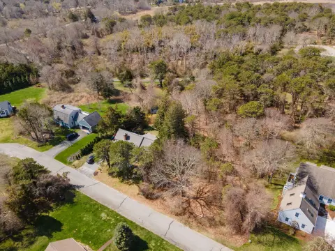
486 Upas Rd Brewster, MA 02631
Property profile & analytics
486 Upas Rd Brewster, MA 02631
- Showrooms
- 5,100 SF
- 0.53 lot acres
Property ID
US38-1324778
The Realmo ID is a unique identifier assigned to every property, incorporating country codes and precise geo-coordinates for 300x300-foot land blocks. It enables standardized data collection and seamless integration of disparate sources such as ownership, tax, title data and physical specifications. By aggregating current and historical records, the Realmo ID powers advanced analytics and delivers deep, verifiable insights for real estate professionals.
Location Intelligence
Current Use by Public Records
- Center for Historic Shipwreck Preservation / Charitable Organization / Social Service Agency
Property Details for 486 Upas Rd
- Year built
- 1961
- Construction
- FRAME
- Lot size
- 0.53 lot acres
- Property size
- 5,100 SF
- Zone code
- COMM H
- Property type
- Showrooms
- APN
- BREW M:76 B:16
- APU
- BREWM76B16
Value Estimations
based on Realmo’s proprietary methodology
-
Comparable approach
- Method
- Estimation
- Statistic Estimate
- $789,000
- AI Estimate
- $448,000
Market price range: $789k - $1.96MMarket price range: $448k - $1.19M
Get a detailed, property-specific estimation — fast and free
Location Insight
- Map
- Local Demand
- City
- Brewster
- County
- Barnstable
- State
- Massachusetts
- Longitude
- -70.0706
- Latitude
- 41.7527
- CBSA code
- 12700
- CBSA name
- BARNSTABLE TOWN, MA METROPOLITAN STATISTICAL AREA
Property Tax & Assessments
Tax date
Tax Amount
Assessed Land Value
Assessed Improvement Value
Total Assessed Value
Applied Tax Rate
Land Market Value
Improvement Market Value
Total Market Value
2024
$2,148
$211,000
$104,400
$315,400
-
$0.00
$0.00
$0.00