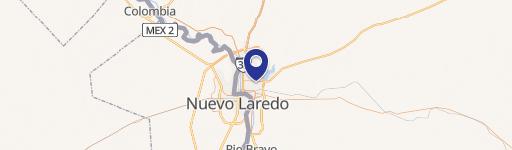
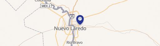
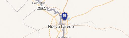
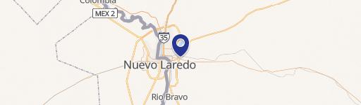
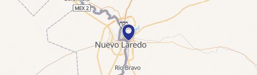
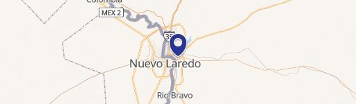
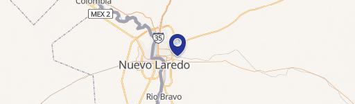
4320 State Hwy 359us Laredo, TX 78043-5191
Property profile & analytics
4320 State Hwy 359us, Laredo, TX 78043-5191
- Grocery and convenience stores
- 6,844 SF
- 1.43 lot acres
Property ID
US83-0152110
The Realmo ID is a unique identifier assigned to every property, incorporating country codes and precise geo-coordinates for 300x300-foot land blocks. It enables standardized data collection and seamless integration of disparate sources such as ownership, tax, title data and physical specifications. By aggregating current and historical records, the Realmo ID powers advanced analytics and delivers deep, verifiable insights for real estate professionals.
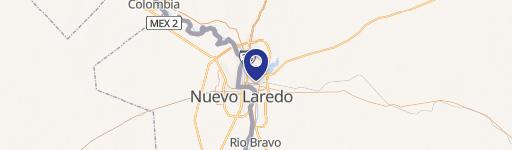
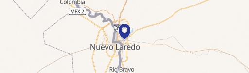
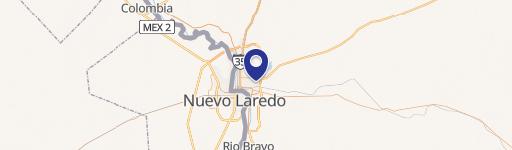
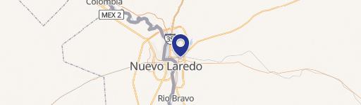
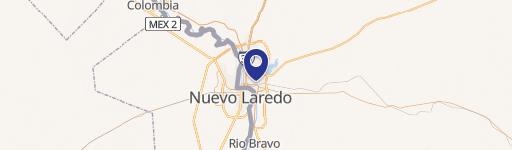
Location Intelligence
Current Use by Public Records
- Grocery and convenience stores
Property Details for 4320 State Hwy 359us
- Year built
- 2015
- Lot size
- 1.43 lot acres
- Property type
- Grocery and convenience stores
- APN
- 922-27001-010
- APU
- 92227001010
Sales History
| Date | Price | Buyer | Seller | Deed Type | Mortgage |
|---|---|---|---|---|---|
| Apr 3, 2018 | — | Mdc Coast 9 LLC | 7 Eleven INC | Special Warranty Deed | — |
| Feb 5, 2018 | — | 7 Eleven INC | Stripes LLC | Special Warranty Deed | — |
| Mar 26, 2015 | — | Stripes LLC | Haynes Ltd | Special Warranty Deed | — |
Value Estimations
based on Realmo’s proprietary methodology
-
AI approach
-
CAP approach
-
Comparable approach
-
Alternative Use
Get a detailed, property-specific estimation — fast and free
Location Insight
- Map
- Local Demand
- City
- Laredo
- County
- Webb
- State
- Texas
- Longitude
- -99.4517
- Latitude
- 27.4984
- CBSA code
- 29700
- CBSA name
- LAREDO, TX METROPOLITAN STATISTICAL AREA
Property Tax & Assessments
Tax date
Tax Amount
Assessed Land Value
Assessed Improvement Value
Total Assessed Value
Applied Tax Rate
Land Market Value
Improvement Market Value
Total Market Value
2022
$8,812
$726,311
$673,689
$1,400,000
-
$726,311
$673,689
$1,400,000