406th Worcester Rd Charlton, MA 01507-1506
ans of a site plan review and approval. N An excluded or prohibited use SP A use permitted under special permit granted by the Planning Board B. Use Regulation Schedule. Districts Principal Uses A or R-60 R-40 R-SE NB V CB IG BEP (1) Agricultural, Floriculture and Horticultural Uses [Amended ] (a) Raising and keeping of livestock, including but not limited t…
Cap rate
Implied · in-place · derived from last sale + estimated NOIValue
AI, CAP & Alternative Use estimations · Realmo proprietary blendProperty tax & assessments
Tax year 2024Comparables
6 recent transactions · within 1.5 miComparable in this City


Similar Nearby for Sale


Similar Nearby for Lease


Property description
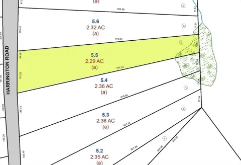
Physical attributes from public recordsZoning & alternative use
CB · Charlton, MAans of a site plan review and approval. N An excluded or prohibited use SP A use permitted under special permit granted by the Planning Board B. Use Regulation Schedule. Districts Principal Uses A or R-60 R-40 R-SE NB V CB IG BEP (1) Agricultural, Floriculture and Horticultural Uses [Amended ] (a) Raising and keeping of livestock, including but not limited to horses, cattle, sheep, goats, swine, fur animals and poultry, on a parcel over f
Costs & Benchmarks
Operating expenses, capex projections, utility benchmarks, and submarket comparables — all in one view.
Risks
Flood, climate, environmental, title, and tenant-concentration risk — surfaced with mitigations and source citations.


