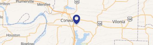
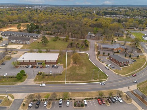
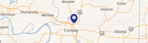
350 Hwy 65th N Conway, AR 72032
Property profile & analytics
350 Hwy 65th N, Conway, AR 72032
- Grocery and convenience stores
- 880 SF
- 0.91 lot acres
Property ID
US05-0331192
The Realmo ID is a unique identifier assigned to every property, incorporating country codes and precise geo-coordinates for 300x300-foot land blocks. It enables standardized data collection and seamless integration of disparate sources such as ownership, tax, title data and physical specifications. By aggregating current and historical records, the Realmo ID powers advanced analytics and delivers deep, verifiable insights for real estate professionals.
Location Intelligence
Current Use by Public Records
- Phillips 66 / Gas Station
Property Details for 350 Hwy 65th N
- Year built
- 1980
- Lot size
- 0.91 lot acres
- Property type
- Grocery and convenience stores
- APN
- 710-08179-000C
- APU
- 71008179000C
Sales History
| Date | Price | Buyer | Seller | Deed Type | Mortgage |
|---|---|---|---|---|---|
| Jul 12, 2006 | — | Bht Investment Co INC | — | Trustees Deed · related | $552k · First Security Bank |
| — | — | Bht Investment Co INC | — | Deed Of Trust · related | $552k · First Security Bank |
| — | — | B H T Investment Co INC | — | Deed Of Trust · related | — |
| — | — | B H T Investment Co INC | — | Loan Modification · related | $552k · First Sec Bk |
Value Estimations
based on Realmo’s proprietary methodology
-
AI approach
-
CAP approach
-
Comparable approach
-
Alternative Use
Get a detailed, property-specific estimation — fast and free
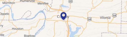
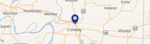
Location Insight
- Map
- Local Demand
- City
- Conway
- County
- Faulkner
- State
- Arkansas
- Longitude
- -92.4308
- Latitude
- 35.1129
- CBSA code
- 30780
- CBSA name
- LITTLE ROCK-NORTH LITTLE ROCK, AR METROPOLITAN STATISTICAL AREA
Property Tax & Assessments
Tax date
Tax Amount
Assessed Land Value
Assessed Improvement Value
Total Assessed Value
Applied Tax Rate
Land Market Value
Improvement Market Value
Total Market Value
2023
$6,604
$71,350
$59,170
$130,520
-
$356,750
$295,850
$652,600