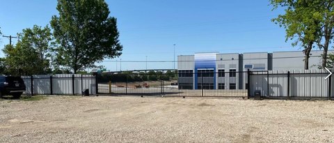
3210 Danieldale Rd Lancaster, TX 75134-1520
Property profile & analytics
3210 Danieldale Rd, Lancaster, TX 75134-1520
- Industrial land
- 5.18 lot acres
Property ID
US82-1952296
The Realmo ID is a unique identifier assigned to every property, incorporating country codes and precise geo-coordinates for 300x300-foot land blocks. It enables standardized data collection and seamless integration of disparate sources such as ownership, tax, title data and physical specifications. By aggregating current and historical records, the Realmo ID powers advanced analytics and delivers deep, verifiable insights for real estate professionals.
Location Intelligence
Current Use by Public Records
- Industrial land
Property Details for 3210 Danieldale Rd
- Lot size
- 5.18 lot acres
- Zone code
- Z125
- Property type
- Industrial land
- APN
- 360287000A0040000
- APU
- 360287000A0040000
Sales History
| Date | Price | Buyer | Seller | Deed Type | Mortgage |
|---|---|---|---|---|---|
| Aug 26, 2020 | — | Investment Transportation Svcs | — | Deed · related | $12.6M · American Nat'l Bk/tx |
| Nov 16, 2015 | — | Investment Transportation Svcs | — | Trustees Deed · related | $5M · American Nat'l Bk/tx |
| — | — | Investment Transportation Svcs | — | Deed Of Trust · related | $715k · American Nat'l Bk/tx |
| — | — | Investment Transportation Svcs | — | Loan Modification · related | $715k · American Nat'l Bk/tx |
| — | — | Investment Transportation Svcs | — | Loan Modification · related | $8.6M · American Nat'l Bk/tx |
| — | — | Investment Transportation Svcs | — | Deed Of Trust · related | $12.6M · American Nat'l Bk/tx |
| — | — | Ffe Transportation Svcs INC | — | Deed Of Trust · related | — |
Value Estimations
based on Realmo’s proprietary methodology
-
AI approach
-
CAP approach
-
Comparable approach
-
Alternative Use
Get a detailed, property-specific estimation — fast and free
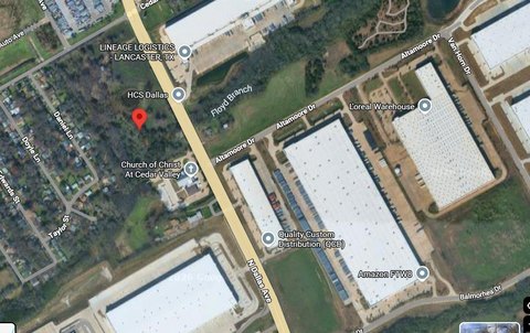
Location Insight
- Map
- Local Demand
- City
- Lancaster
- County
- Dallas
- State
- Texas
- Longitude
- -96.8152
- Latitude
- 32.6327
- CBSA code
- 19100
- CBSA name
- DALLAS-FORT WORTH-ARLINGTON, TX METROPOLITAN STATISTICAL AREA
Property Tax & Assessments
Tax date
Tax Amount
Assessed Land Value
Assessed Improvement Value
Total Assessed Value
Applied Tax Rate
Land Market Value
Improvement Market Value
Total Market Value
2023
$12,231
$507,300
$0.00
$507,300
-
$507,300
$0.00
$507,300