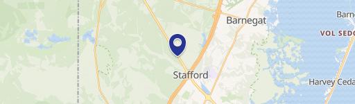
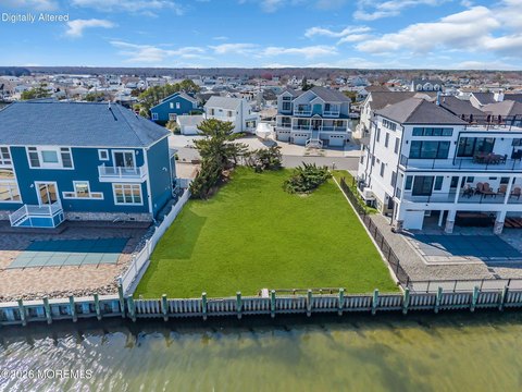
30 Rte 72 Barnegat, NJ 08005-1101
Property profile & analytics
30 Rte 72 Barnegat, NJ 08005-1101
- Commercial real estate
- 3,268 SF
- 42.71 lot acres
Property ID
US59-2053836
The Realmo ID is a unique identifier assigned to every property, incorporating country codes and precise geo-coordinates for 300x300-foot land blocks. It enables standardized data collection and seamless integration of disparate sources such as ownership, tax, title data and physical specifications. By aggregating current and historical records, the Realmo ID powers advanced analytics and delivers deep, verifiable insights for real estate professionals.
Location Intelligence
Current Use by Public Records
- Commercial real estate
Property Details for 30 Rte 72
- Year built
- 1970
- Construction
- CONCRETE BLOCKS
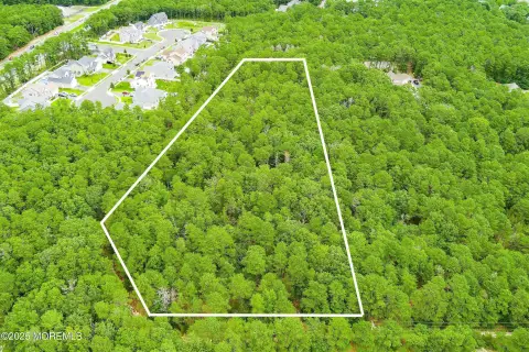
- Lot size
- 42.71 lot acres
- Property size
- 3,268 SF
- Zone code
- PF
- Property type
- Commercial real estate
- APN
- 01 00090-0000-00014- 01
- APU
- 10009000000001401
Value Estimations
based on Realmo’s proprietary methodology
-
AI approach
- Method
- Estimation
- ML approach
- $425,000
-
CAP approach
- CAP Return
- Estimation
- 6%
- $630,000
- 6.5%
- $580,000
- 7%
- $540,000
-
Comparable approach
- Method
- Estimation
- Statistic Estimate
- $698,000
- AI Estimate
- $660,000
Market price range: $357k - $698kMarket price range: $242k - $661k -
Alternative Use
- Use
- Estimation
- COMMERCIAL (GENERAL)
- $525,000 Current use
- OFFICE BUILDING
- $775,000 Change: +47% Conversion: Easy
Get a detailed, property-specific estimation — fast and free
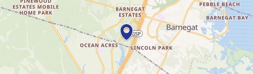
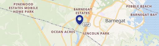
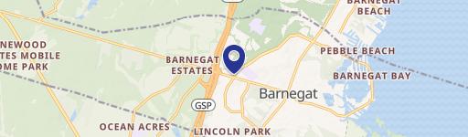
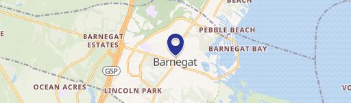
Location Insight
- Map
- Local Demand
- City
- Barnegat
- County
- Ocean
- State
- New Jersey
- Longitude
- -74.3147
- Latitude
- 39.7601
- CBSA code
- 35620
- CBSA name
- NEW YORK-NORTHERN NEW JERSEY-LONG ISLAND, NY-NJ-PA METROPOLITAN STATISTICAL AREA
Property Tax & Assessments
Tax date
Tax Amount
Assessed Land Value
Assessed Improvement Value
Total Assessed Value
Applied Tax Rate
Land Market Value
Improvement Market Value
Total Market Value
2022
$71,397
$2,135,000
$399,500
$2,534,500
-
$2,135,000
$399,500
$2,534,500