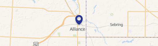
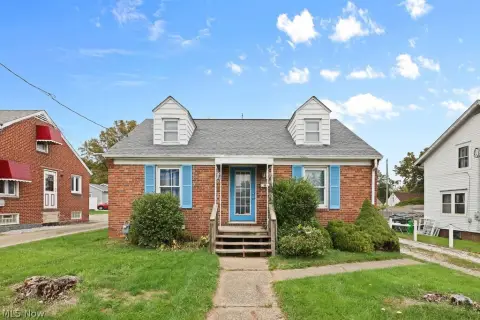
2435 S Union Ave Alliance, OH 44601
 For Sale
1 / 3
For Sale
1 / 3
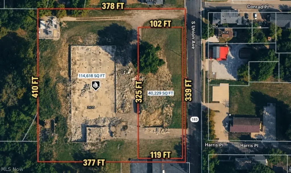
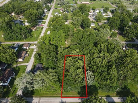
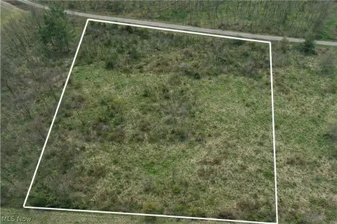
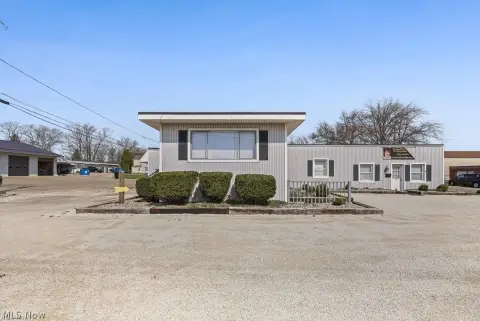
This exceptional 3.59-acre commercial land parcel presents a remarkable investment opportunity in Alliance, Ohio. Located at 2435 S Union Ave (Rt. 183), this property boasts approximately 338 feet of frontage on a busy thoroughfare, ensuring high visibility and accessibility for any commercial venture. The property is zoned B-3 Mixed Commercial, offering a wide range of development possibilities. The existing smoke stack will be removed, demolition debris cleared, and the area filled and seeded before closing, simplifying the development process. The parcel's size and zoning make it ideal for a variety of uses, from retail and restaurants to light industrial and office spaces. With its strategic location and significant frontage, this property offers unparalleled potential for substantial return on investment. The property's APN numbers are 10008611 and 10008613. This is a rare opportunity to acquire a large, well-located commercial lot in a growing area. Don't miss out on this chance to build your business in a prime location. The asking price is $990,000.
Cap rate
Implied · in-place · derived from last sale + estimated NOIValue
AI, CAP & Alternative Use estimations · Realmo proprietary blendProperty tax & assessments
Tax year 2023Comparables
6 recent transactions · within 1.5 miComparable in this City


Similar Nearby for Sale


Similar Nearby for Lease


Property description
Physical attributes from public recordsZoning & alternative use
Costs & Benchmarks
Operating expenses, capex projections, utility benchmarks, and submarket comparables — all in one view.
Risks
Flood, climate, environmental, title, and tenant-concentration risk — surfaced with mitigations and source citations.


