
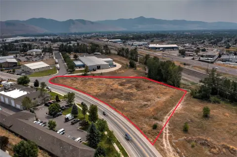
2400 Michael Rd, Missoula, MT 59808
 For Lease
1 / 13
For Lease
1 / 13
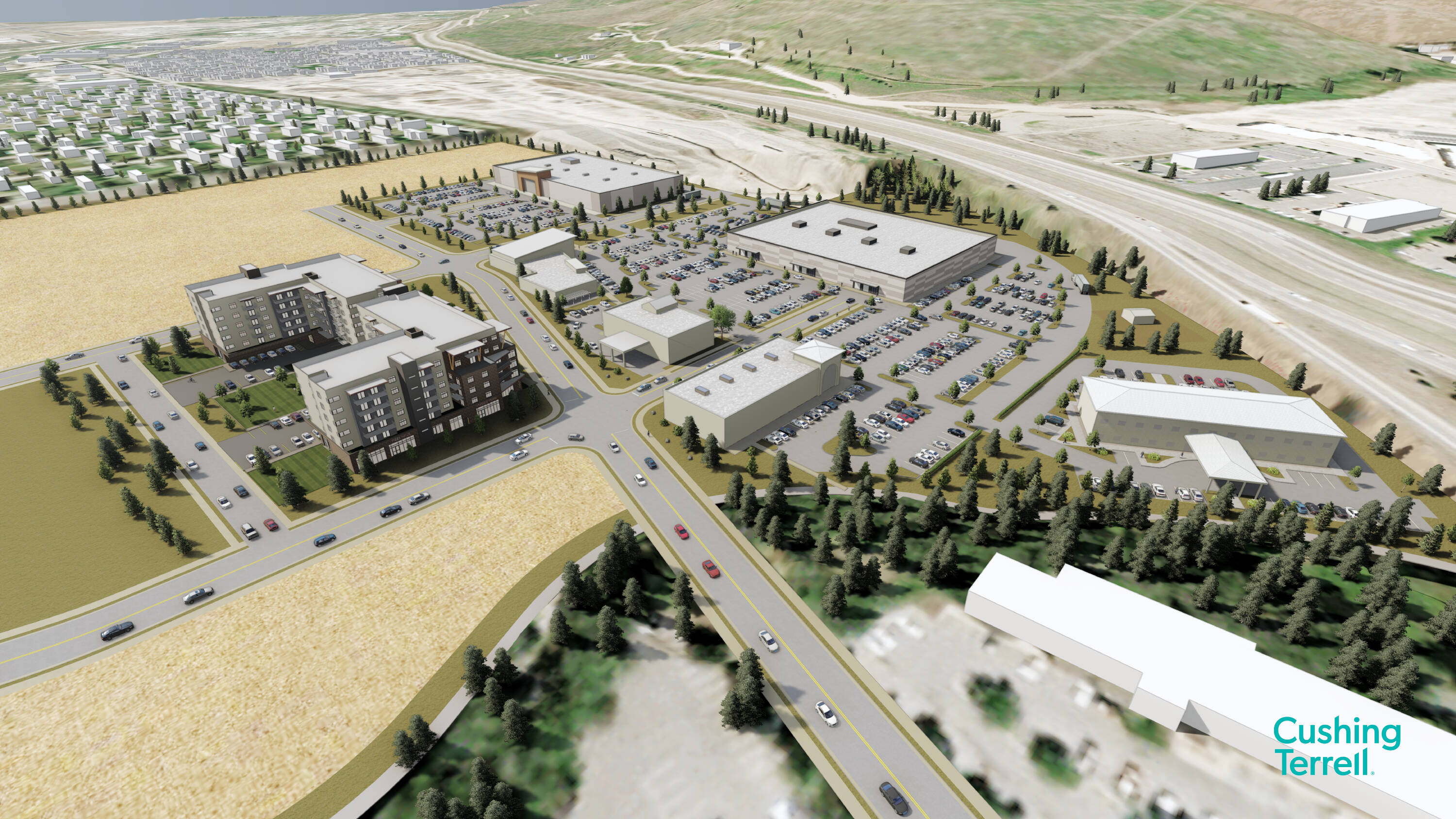
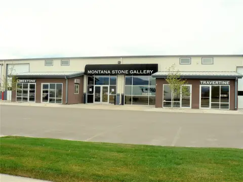
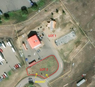
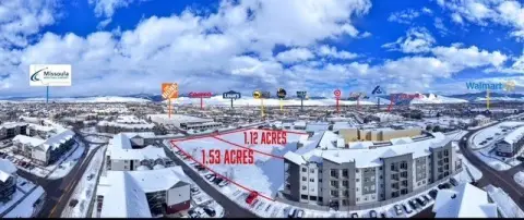
Welcome to 2400 Michael Road, a high-vis commercial development opportunity in Missoula. This prime location along Grant Creek is sure to turn heads with its prime visibility from the highway and quick access from the bustling North Reserve Street. Businesses in hospitality, medical, and retail will thrive in this area. Mixed-use residential is also likely here, with permissive zoning in place. This property is in a zone classified as Community Commercial which means it's also the perfect spot for a mixed development of residential and non-residential uses. Plus, it's located right next to an expanding residential area with more developments in the works. You'll love the quick access to the Reserve Street commercial corridor, Downtown Missoula, as well as nearby schools, job centers, and community services. But don't worry, you'll still be able to enjoy all the outdoor beauty Montana has to offer - Snowbowl ski resort and plenty of trails are just a stone's throw away. Missoula is the place to be with its rapidly growing population, diverse group of residents, and top-notch schools like the University of Montana. Plus, with the healthcare hub at St. Patrick's Hospital and Community Medical Center, and companies like ATG, Mindbody, and onX driving the tech sector, there's no shortage of opportunities. Options are available for build-to-suit or ground leases.
Cap rate
Implied · in-place · derived from last sale + estimated NOIValue
AI, CAP & Alternative Use estimations · Realmo proprietary blendComparables
6 recent transactions · within 1.5 miComparable in this City


Similar Nearby for Sale


Similar Nearby for Lease
Property description
Physical attributes from public recordsZoning & alternative use
Costs & Benchmarks
Operating expenses, capex projections, utility benchmarks, and submarket comparables — all in one view.
Risks
Flood, climate, environmental, title, and tenant-concentration risk — surfaced with mitigations and source citations.


