2111 Hawthorne Rd Mead, WA 99021-9594
Property profile & analytics
2111 Hawthorne Rd, Mead, WA 99021-9594
- Warehouses
- 792 SF
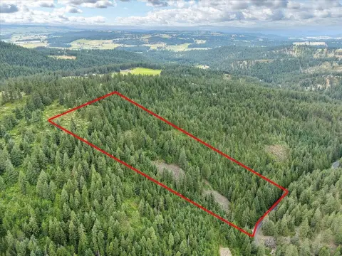
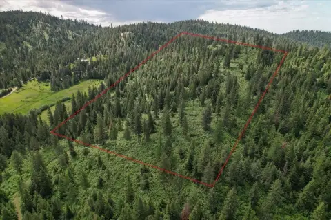
- 167.71 lot acres
Property ID
US90-3325031
The Realmo ID is a unique identifier assigned to every property, incorporating country codes and precise geo-coordinates for 300x300-foot land blocks. It enables standardized data collection and seamless integration of disparate sources such as ownership, tax, title data and physical specifications. By aggregating current and historical records, the Realmo ID powers advanced analytics and delivers deep, verifiable insights for real estate professionals.
Location Intelligence
Current Use by Public Records
- Warehouses
Property Details for 2111 Hawthorne Rd
- Year built
- 2015
- Lot size
- 167.71 lot acres
- Property type
- Warehouses
- APN
- 36165.9016
- APU
- 361659016
Sales History
| Date | Price | Buyer | Seller | Deed Type | Mortgage |
|---|---|---|---|---|---|
| Oct 7, 2014 | $1,000,000 | Spokane Recycling Co LLC | Nmc Mead LLC | Grant Deed | — |
| Aug 20, 2010 | $560,000 | United States Of America | Cdc Mead LLC | Warranty Deed | — |
| May 26, 2010 | $250,000 | Travis Pattern & Foundry INC | Cdc Mead LLC | Warranty Deed | — |
| Jun 2, 2004 | $4,740,625 | Cdc Mead | Kaiser Aluminum & Chemical Cor | Warranty Deed | — |
Value Estimations
based on Realmo’s proprietary methodology
-
AI approach
-
CAP approach
-
Comparable approach
-
Alternative Use
Get a detailed, property-specific estimation — fast and free
Location Insight
- Map
- Local Demand
- City
- Mead
- County
- Spokane
- State
- Washington
- Longitude
- -117.379
- Latitude
- 47.7551
- CBSA code
- 44060
- CBSA name
- SPOKANE-SPOKANE VALLEY, WA METROPOLITAN STATISTICAL AREA
Property Tax & Assessments
Tax date
Tax Amount
Assessed Land Value
Assessed Improvement Value
Total Assessed Value
Applied Tax Rate
Land Market Value
Improvement Market Value
Total Market Value
2023
$46,324
$767,070
$100
$767,170
-
$767,070
$100
$767,170