2012 Gore Blvd Lawton, OK 73501-3618
Property profile & analytics
2012 Gore Blvd, Lawton, OK 73501-3618
- Turn key restaurants
- 3,250 SF
- 0.19 lot acres
Property ID
US69-0624479
The Realmo ID is a unique identifier assigned to every property, incorporating country codes and precise geo-coordinates for 300x300-foot land blocks. It enables standardized data collection and seamless integration of disparate sources such as ownership, tax, title data and physical specifications. By aggregating current and historical records, the Realmo ID powers advanced analytics and delivers deep, verifiable insights for real estate professionals.
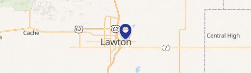
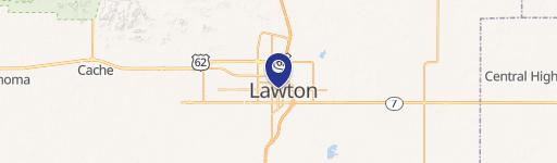
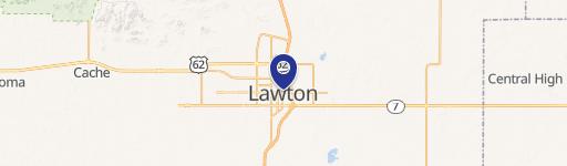
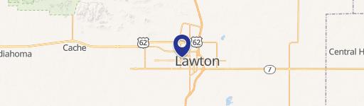
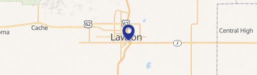
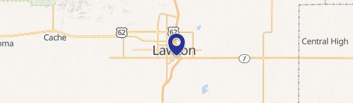
Location Intelligence
Current Use by Public Records
- Turn key restaurants
Property Details for 2012 Gore Blvd
- Year built
- 1973
- Lot size
- 0.19 lot acres
- Property type
- Turn key restaurants
- APN
- 25851
- APU
- 25851
Sales History
| Date | Price | Buyer | Seller | Deed Type | Mortgage |
|---|---|---|---|---|---|
| Jan 19, 2021 | — | Lori El Kouri | Ramon L John | Affidavit | — |
| Oct 8, 2018 | — | Ramon L John | — | Deed · related | $405k · Liberty National Bank |
| Mar 16, 2018 | — | Lori El Kouri | Ramon L John | Transfer On Death Deed | — |
| Aug 4, 2017 | — | Lance John | — | Deed · related | $66k · Liberty National Bank |
| Oct 14, 2016 | — | Lance John | — | Deed · related | $381k · Liberty National Bank |
Value Estimations
based on Realmo’s proprietary methodology
-
AI approach
-
CAP approach
-
Comparable approach
-
Alternative Use
Get a detailed, property-specific estimation — fast and free
Location Insight
- Map
- Local Demand
- City
- Lawton
- County
- Comanche
- State
- Oklahoma
- Longitude
- -98.4188
- Latitude
- 34.6085
- CBSA code
- 30020
- CBSA name
- LAWTON, OK METROPOLITAN STATISTICAL AREA
Property Tax & Assessments
Tax date
Tax Amount
Assessed Land Value
Assessed Improvement Value
Total Assessed Value
Applied Tax Rate
Land Market Value
Improvement Market Value
Total Market Value
2023
$1,854
$6,666
$10,478
$17,144
-
$114,748
$276,812
$391,560