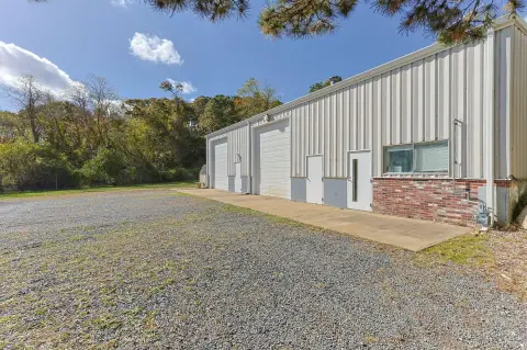
20 Ww Rd Orleans, MA 02653-3203
-
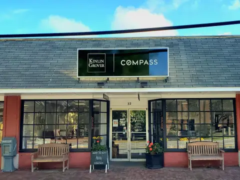
Cape Cod 5 Trust and Asset Management Office Financial Advisor
4-3.4 Lots in Two Districts. § 164-3.5 Lots Located Partly in Another Municipality. § 164-3.6 Residence R. § 164-3.7 Rural Business District RB. § 164-3.8 Marine Business District MB. § 164-3.9 Limited Business District LB. § 164-3.10 General Business District GB. § 164-3.11 Village Center District VC. § 164-3.12 Industrial District I. § 164-3.13 Seashore Co…
Cap rate
Implied · in-place · derived from last sale + estimated NOIValue
AI, CAP & Alternative Use estimations · Realmo proprietary blendProperty tax & assessments
Tax year 2024Comparables
6 recent transactions · within 1.5 miComparable in this City


Similar Nearby for Sale


Similar Nearby for Lease


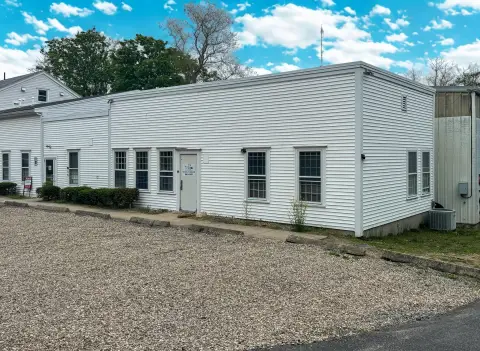

Property description
Physical attributes from public recordsZoning & alternative use
LB · Orleans, MA4-3.4 Lots in Two Districts. § 164-3.5 Lots Located Partly in Another Municipality. § 164-3.6 Residence R. § 164-3.7 Rural Business District RB. § 164-3.8 Marine Business District MB. § 164-3.9 Limited Business District LB. § 164-3.10 General Business District GB. § 164-3.11 Village Center District VC. § 164-3.12 Industrial District I. § 164-3.13 Seashore Conservancy District SC. § 164-3.14 Conservancy Districts CD. § 164-3.15 Groundwater
Costs & Benchmarks
Operating expenses, capex projections, utility benchmarks, and submarket comparables — all in one view.
Risks
Flood, climate, environmental, title, and tenant-concentration risk — surfaced with mitigations and source citations.


