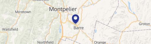
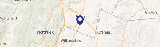
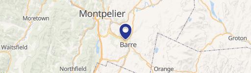
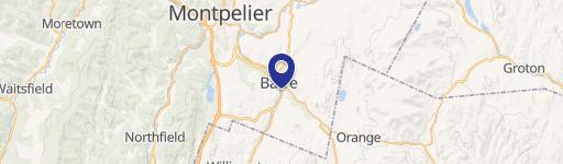
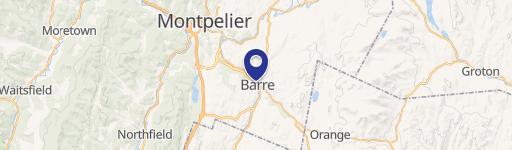
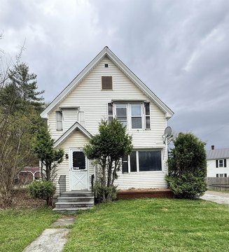
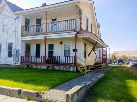
20 Burnham St Barre, VT 05641-4708
Property profile & analytics
20 Burnham St, Barre, VT 05641-4708
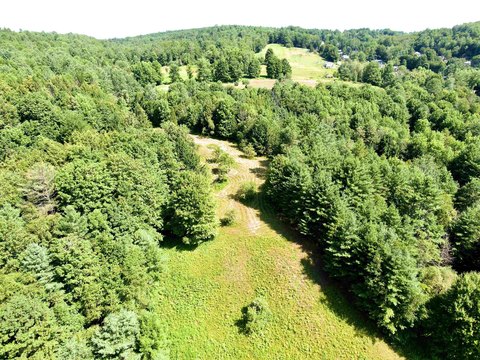
- Mining land & claims
- 6,474 SF
- 0.55 lot acres
Property ID
US89-0049262
The Realmo ID is a unique identifier assigned to every property, incorporating country codes and precise geo-coordinates for 300x300-foot land blocks. It enables standardized data collection and seamless integration of disparate sources such as ownership, tax, title data and physical specifications. By aggregating current and historical records, the Realmo ID powers advanced analytics and delivers deep, verifiable insights for real estate professionals.
Location Intelligence
Current Use by Public Records
- Hardrock Granite / Building Supply / Hardware & Home Improvement
Property Details for 20 Burnham St
- Year built
- 1958
- Construction
- FRAME
- Lot size
- 0.55 lot acres
- Zone code
- AE
- Property type
- Mining land & claims
- APN
- (011) 0260-0020-0000
- APU
- 11026000200000
Sales History
| Date | Price | Buyer | Seller | Deed Type | Mortgage |
|---|---|---|---|---|---|
| Jan 6, 2016 | $85,000 | Capital Candy Co INC | Hardrock Granite Companty INC | Grant Deed · related | — |
| Jul 14, 2005 | — | Hardrock Granite Co INC | — | Deed Of Trust · related | $15k · Chittenden Trust Co |
Value Estimations
based on Realmo’s proprietary methodology
-
AI approach
-
CAP approach
-
Comparable approach
-
Alternative Use
Get a detailed, property-specific estimation — fast and free
Location Insight
- Map
- Local Demand
- City
- Barre
- County
- Washington
- State
- Vermont
- Longitude
- -72.5055
- Latitude
- 44.197
- CBSA code
- 12740
- CBSA name
- BARRE, VT MICROPOLITAN STATISTICAL AREA
Property Tax & Assessments
Tax date
Tax Amount
Assessed Land Value
Assessed Improvement Value
Total Assessed Value
Applied Tax Rate
Land Market Value
Improvement Market Value
Total Market Value
2022
$4,403
$24,100
$97,700
$121,800
-
$0.00
$0.00
$0.00