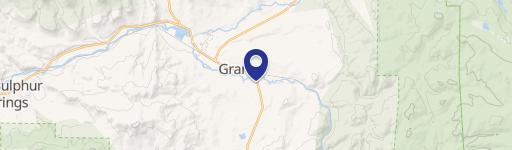
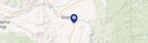
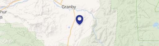
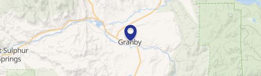
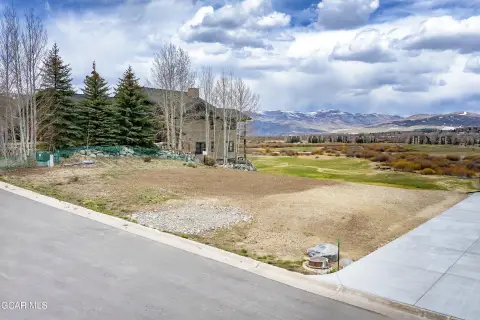
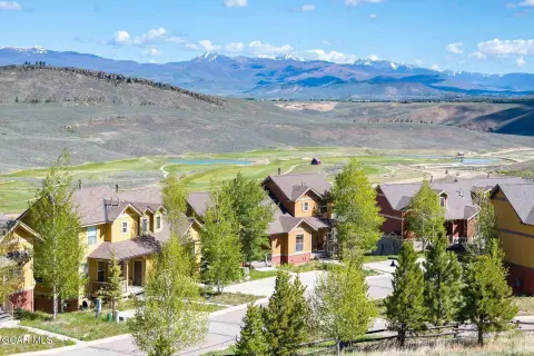
1950 Us Hwy 34 Granby, CO 80446
Property profile & analytics
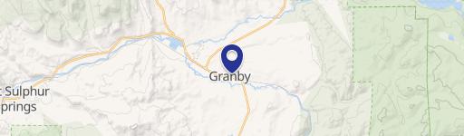
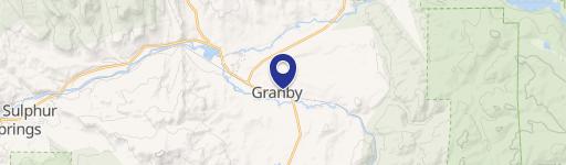
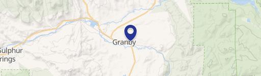
1950 Us Hwy 34, Granby, CO 80446
- Office buildings
- 8,890 SF
- 1.83 lot acres
Property ID
US13-1875000
The Realmo ID is a unique identifier assigned to every property, incorporating country codes and precise geo-coordinates for 300x300-foot land blocks. It enables standardized data collection and seamless integration of disparate sources such as ownership, tax, title data and physical specifications. By aggregating current and historical records, the Realmo ID powers advanced analytics and delivers deep, verifiable insights for real estate professionals.
Location Intelligence
Current Use by Public Records
- Office buildings
Property Details for 1950 Us Hwy 34
- Year built
- 1982
- Construction
- WOOD
- Lot size
- 1.83 lot acres
- Zone code
- GHGB
- Property type
- Office buildings
- APN
- 133136400035
- APU
- 133136400035
Sales History
| Date | Price | Buyer | Seller | Deed Type | Mortgage |
|---|---|---|---|---|---|
| Aug 17, 2023 | — | Rsj Granby West Storage LLC | — | Deed · related | $500k · Front Range State Bank |
| Jun 14, 2021 | — | Rsj Granby West Storage LLC | — | Deed · related | $1.1M · Front Range State Bank |
| Feb 12, 2021 | — | Rsj Granby West Storage LLC | Cody Mullinex | Intrafamily Transfer · related | — |
| Feb 11, 2021 | — | Rsj Ganby West Storage LLC | — | Deed · related | $282k · Front Range State Bank |
Value Estimations
based on Realmo’s proprietary methodology
-
Comparable approach
- Method
- Estimation
- AI Estimate
- $1,438,000
Market price range: $847k - $3.17M
Get a detailed, property-specific estimation — fast and free
Location Insight
- Map
- Local Demand
- City
- Granby
- County
- Grand
- State
- Colorado
- Longitude
- -105.958
- Latitude
- 40.0912
Property Tax & Assessments
Tax date
Tax Amount
Assessed Land Value
Assessed Improvement Value
Total Assessed Value
Applied Tax Rate
Land Market Value
Improvement Market Value
Total Market Value
2023
$13,057
$83,200
$154,090
$237,290
-
$317,900
$588,730
$906,630