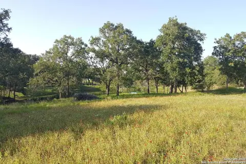
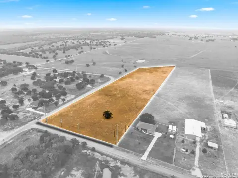
1900 County Rd 361 La Vernia, TX 78121-4970
Property profile & analytics
1900 County Rd 361, La Vernia, TX 78121-4970
- Commercial real estate
- 4,173 SF
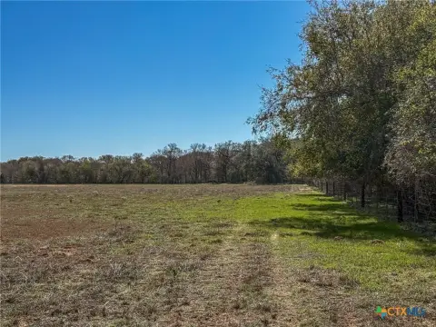
- 20.54 lot acres
Property ID
US83-3803573
The Realmo ID is a unique identifier assigned to every property, incorporating country codes and precise geo-coordinates for 300x300-foot land blocks. It enables standardized data collection and seamless integration of disparate sources such as ownership, tax, title data and physical specifications. By aggregating current and historical records, the Realmo ID powers advanced analytics and delivers deep, verifiable insights for real estate professionals.
Location Intelligence
Current Use by Public Records
- Commercial real estate
Property Details for 1900 County Rd 361
- Year built
- 1986
- Lot size
- 20.54 lot acres
- Property type
- Commercial real estate
- APN
- 0151-00000-00104
- APU
- 1510000000104
Sales History
| Date | Price | Buyer | Seller | Deed Type | Mortgage |
|---|---|---|---|---|---|
| Feb 11, 2026 | — | Matthew Schoenfeldt | Michael W Mcateer | Warranty Deed | — |
| Jan 23, 2024 | — | Matthew Schoenfeldt | — | Deed · related | $500k · Security Service FCU |
| Oct 1, 2015 | — | Matthew Schoenfeldt | Chester D Eastin | Venders Lien | $350k · Chester D Eastin Etux |
Value Estimations
based on Realmo’s proprietary methodology
-
CAP approach
- CAP Return
- Estimation
- 6%
- $845,000
- 6.5%
- $780,000
- 7%
- $725,000
-
Comparable approach
- Method
- Estimation
- AI Estimate
- $710,000
Market price range: $295k - $786k
Get a detailed, property-specific estimation — fast and free
Location Insight
- Map
- Local Demand
- City
- La Vernia
- County
- Wilson
- State
- Texas
- Longitude
- -98.1596
- Latitude
- 29.3371
- CBSA code
- 41700
- CBSA name
- SAN ANTONIO, TX METROPOLITAN STATISTICAL AREA
Property Tax & Assessments
Tax date
Tax Amount
Assessed Land Value
Assessed Improvement Value
Total Assessed Value
Applied Tax Rate
Land Market Value
Improvement Market Value
Total Market Value
2023
$11,987
$333,320
$639,140
$972,460
-
$333,320
$639,140
$972,460