19 Thames St Groton, CT 06340-3652
Property profile & analytics
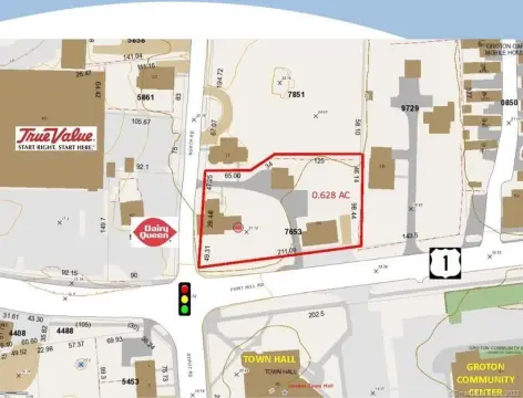
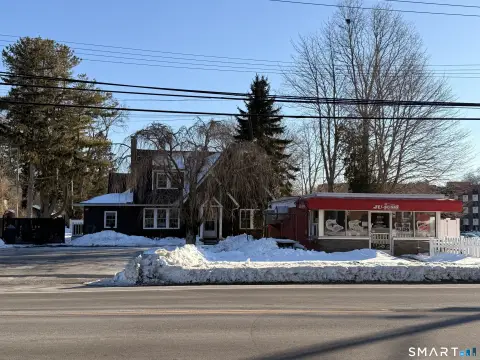
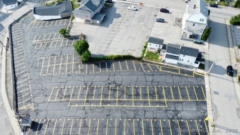
19 Thames St, Groton, CT 06340-3652
- Commercial land
- 17,097 SF
- 1.38 lot acres
Property ID
US15-0322331
The Realmo ID is a unique identifier assigned to every property, incorporating country codes and precise geo-coordinates for 300x300-foot land blocks. It enables standardized data collection and seamless integration of disparate sources such as ownership, tax, title data and physical specifications. By aggregating current and historical records, the Realmo ID powers advanced analytics and delivers deep, verifiable insights for real estate professionals.
Location Intelligence
Current Use by Public Records
- Hoops Peter W / Law Firm
Property Details for 19 Thames St
- Year built
- 1983
- Lot size
- 1.38 lot acres
- Zone code
- GC
- Property type
- Commercial land
- APN
- GROT M:168914237226
- APU
- GROTM168914237226
Sales History
| Date | Price | Buyer | Seller | Deed Type | Mortgage |
|---|---|---|---|---|---|
| Apr 30, 2025 | — | Nineteen Thames LLC | — | Deed · related | $915k · Chelsea Groton Bank |
| Apr 2, 2007 | $1 | Peter W Hoops | Mccullough,timothy C | Grant Deed · related | — |
| Mar 18, 1997 | — | Thames Street Neneteen | — | Deed Of Trust · related | $639k · Norwalk Savings Society |
Value Estimations
based on Realmo’s proprietary methodology
-
Comparable approach
- Method
- Estimation
- Statistic Estimate
- $957,000
- AI Estimate
- $797,000
Market price range: $958k - $2.05MMarket price range: $798k - $2.17M -
Alternative Use
- Use
- Estimation
- COMMERCIAL (GENERAL)
- $1,440,000 Current use
- APARTMENT HOUSE (5+ UNITS)
- $1,450,000 Change: +1% Conversion: Moderate
Get a detailed, property-specific estimation — fast and free
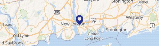
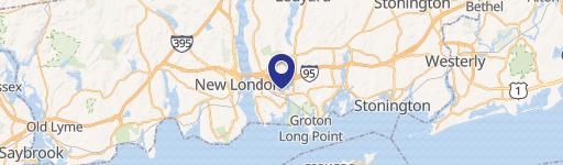
Location Insight
- Map
- Local Demand
- City
- Groton
- County
- New London
- State
- Connecticut
- Longitude
- -72.0844
- Latitude
- 41.3618
- CBSA code
- 35980
- CBSA name
- NORWICH-NEW LONDON, CT METROPOLITAN STATISTICAL AREA
Property Tax & Assessments
Tax date
Tax Amount
Assessed Land Value
Assessed Improvement Value
Total Assessed Value
Applied Tax Rate
Land Market Value
Improvement Market Value
Total Market Value
2024
$17,807
$662,200
$0.00
$662,200
-
$0.00
$0.00
$0.00