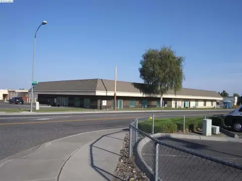
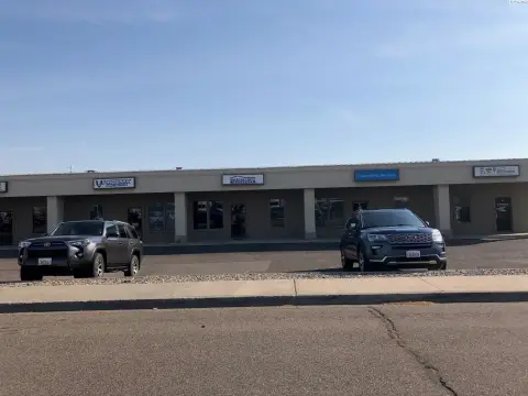
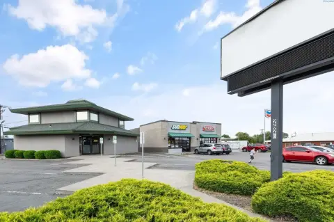
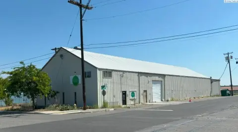
19 10th Ave Kennewick, WA 99336-6371
Property profile & analytics
19 10th Ave Kennewick, WA 99336-6371
- Commercial land
- 19,101 SF
- 0.25 lot acres
Property ID
US90-2284627
The Realmo ID is a unique identifier assigned to every property, incorporating country codes and precise geo-coordinates for 300x300-foot land blocks. It enables standardized data collection and seamless integration of disparate sources such as ownership, tax, title data and physical specifications. By aggregating current and historical records, the Realmo ID powers advanced analytics and delivers deep, verifiable insights for real estate professionals.
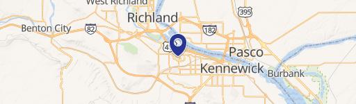
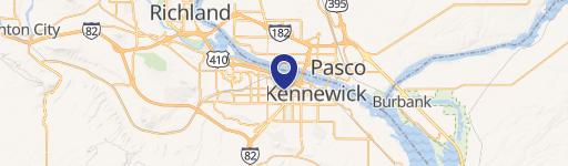
Location Intelligence
Current Use by Public Records
- River City Services, LLC / Storage Facility
Property Details for 19 10th Ave
- Year built
- 1986
- Lot size
- 0.25 lot acres
- Property size
- 19,101 SF
- Zone code
- KENNEWICK - CC
- Property type
- Commercial land
- APN
- 112891030005011
- APU
- 112891030005011
Value Estimations
based on Realmo’s proprietary methodology
-
Comparable approach
- Method
- Estimation
- AI Estimate
- $966,000
Market price range: $967k - $4.11M
Get a detailed, property-specific estimation — fast and free
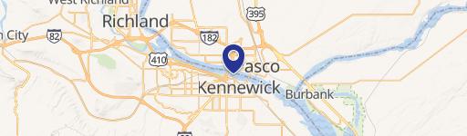
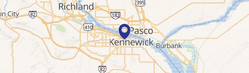
Location Insight
- Map
- Local Demand
- City
- Kennewick
- County
- Benton
- State
- Washington
- Longitude
- -119.119
- Latitude
- 46.1972
- CBSA code
- 28420
- CBSA name
- KENNEWICK-RICHLAND-PASCO, WA METROPOLITAN STATISTICAL AREA
Property Tax & Assessments
Tax date
Tax Amount
Assessed Land Value
Assessed Improvement Value
Total Assessed Value
Applied Tax Rate
Land Market Value
Improvement Market Value
Total Market Value
0
$0.00
$38,150
$0.00
$38,150
-
$38,150
$0.00
$38,150