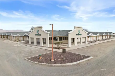
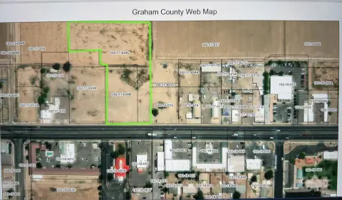
1600 Us Hwy 70 Safford, AZ 85546-9709
Property profile & analytics
1600 Us Hwy 70, Safford, AZ 85546-9709
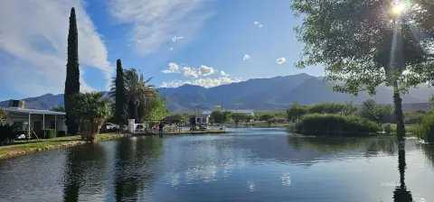
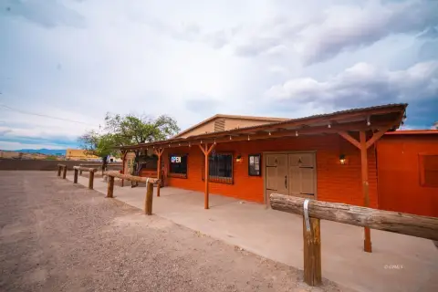
- Mobile home & RV parks
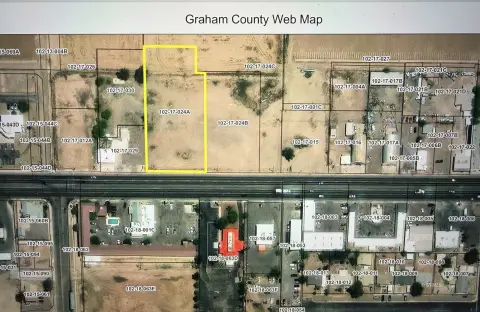
- 12.88 lot acres
Property ID
US07-0526302
The Realmo ID is a unique identifier assigned to every property, incorporating country codes and precise geo-coordinates for 300x300-foot land blocks. It enables standardized data collection and seamless integration of disparate sources such as ownership, tax, title data and physical specifications. By aggregating current and historical records, the Realmo ID powers advanced analytics and delivers deep, verifiable insights for real estate professionals.
Location Intelligence
Current Use by Public Records
- Mobile home & RV parks
Property Details for 1600 Us Hwy 70
- Year built
- 1976
- Lot size
- 12.88 lot acres
- Property type
- Mobile home & RV parks
- APN
- 102-43-038
- APU
- 10243038
Sales History
| Date | Price | Buyer | Seller | Deed Type | Mortgage |
|---|---|---|---|---|---|
| Aug 24, 2016 | $2,600,000 | Cauffman,john S Trust | Santiago Silver Creek | Grant Deed | — |
| Nov 29, 2007 | $2,475,000 | Silver Creek Santiago | Silvercreek Mhp LLC | Grant Deed | $1.6M · Bank Of Hemet |
| Jul 14, 2006 | — | Silvercreek Mhp LLC | Safford East Park LLC | Grant Deed | $720k · Union Bank Of California |
| — | — | Safford East Park LLC | — | Deed Of Trust · related | $250k · Bank One NA |
Value Estimations
based on Realmo’s proprietary methodology
-
AI approach
-
CAP approach
-
Comparable approach
-
Alternative Use
Get a detailed, property-specific estimation — fast and free
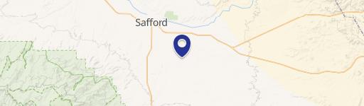
Location Insight
- Map
- Local Demand
- City
- Safford
- County
- Graham
- State
- Arizona
- Longitude
- -109.686
- Latitude
- 32.8228
- CBSA code
- 40940
- CBSA name
- SAFFORD, AZ MICROPOLITAN STATISTICAL AREA
Property Tax & Assessments
Tax date
Tax Amount
Assessed Land Value
Assessed Improvement Value
Total Assessed Value
Applied Tax Rate
Land Market Value
Improvement Market Value
Total Market Value
2023
$4,595
$11,431
$32,180
$43,611
-
$114,309
$321,801
$436,110