1515 Southridge Dr Barnhart, MO 63012
Property profile & analytics
1515 Southridge Dr, Barnhart, MO 63012
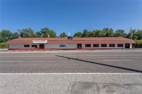
- Industrial properties
- 1,080 SF
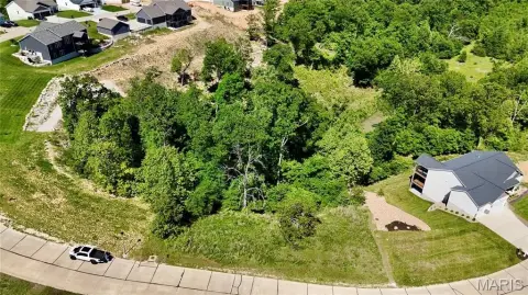
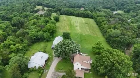
- 3.81 lot acres
Property ID
US48-0558957
The Realmo ID is a unique identifier assigned to every property, incorporating country codes and precise geo-coordinates for 300x300-foot land blocks. It enables standardized data collection and seamless integration of disparate sources such as ownership, tax, title data and physical specifications. By aggregating current and historical records, the Realmo ID powers advanced analytics and delivers deep, verifiable insights for real estate professionals.
Location Intelligence
Current Use by Public Records
- Industrial properties
Property Details for 1515 Southridge Dr
- Year built
- 1970
- Construction
- FRAME
- Lot size
- 3.81 lot acres
- Zone code
- R-10
- Property type
- Industrial properties
- APN
- 09-9.0-31.0-2-002-010.
- APU
- 9903102002010
Sales History
| Date | Price | Buyer | Seller | Deed Type | Mortgage |
|---|---|---|---|---|---|
| Nov 2, 2021 | — | John David Johnson | Tracey G Sheade | Quit Claim Deed · related | — |
| Aug 31, 2018 | — | Violet L Gibson | Gibson,floyd M & Violet L | Quit Claim Deed · related | — |
| Jul 10, 2017 | — | Gibson Living Trust | Gibson,floyd M & Violet L | Quit Claim Deed · related | — |
Value Estimations
based on Realmo’s proprietary methodology
-
AI approach
-
CAP approach
-
Comparable approach
-
Alternative Use
Get a detailed, property-specific estimation — fast and free
Location Insight
- Map
- Local Demand
- City
- Barnhart
- County
- Jefferson
- State
- Missouri
- Longitude
- -90.3959
- Latitude
- 38.3343
- CBSA code
- 41180
- CBSA name
- ST. LOUIS, MO-IL METROPOLITAN STATISTICAL AREA
Property Tax & Assessments
Tax date
Tax Amount
Assessed Land Value
Assessed Improvement Value
Total Assessed Value
Applied Tax Rate
Land Market Value
Improvement Market Value
Total Market Value
2023
$1,381
$8,400
$9,200
$17,600
-
$26,300
$28,900
$55,200