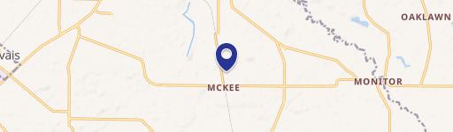
1505 Boones Ferry Rd NE Woodburn, OR 97071
 For Sale
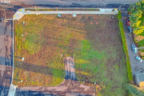
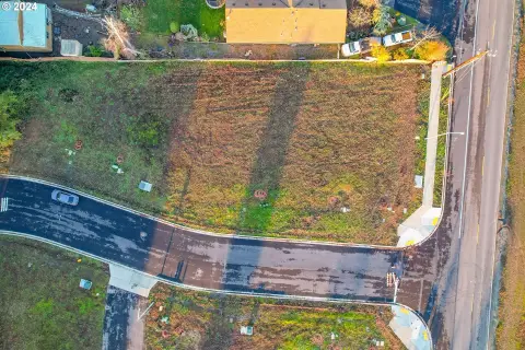
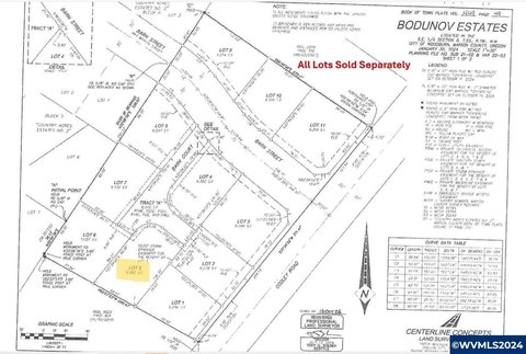
This exceptional 74.65-acre commercial land parcel presents a significant development opportunity within Woodburn, Oregon's urban growth boundary. Currently zoned UT-20, upon annexation into the city limits, the property will be rezoned to RS, a low-density residential designation within Woodburn's zoning plan. This allows for a variety of residential development options. Adding to its versatility, a nodal development overlay provides flexibility in building types, even permitting limited commercial development. The site boasts a desirable flat topography, simplifying construction and maximizing usable space. Its strategic location offers convenient proximity to local schools and parks, enhancing its appeal to future residents. The asking price is $21,275,250, translating to $285,000 per acre. The property is served by Woodburn municipal utilities, ensuring readily available infrastructure. Portland General Electric (PGE) is the regional power provider. This large-scale development opportunity is ideally suited for a discerning investor seeking to capitalize on the growth potential of Woodburn, Oregon. The address is 1505 Boones Ferry Rd NE, Woodburn, OR 97071, located in Marion County.
Cap rate
Implied · in-place · derived from last sale + estimated NOIValue
AI, CAP & Alternative Use estimations · Realmo proprietary blendProperty tax & assessments
Tax year 2023Comparables
6 recent transactions · within 1.5 miComparable in this City


Similar Nearby for Sale


Similar Nearby for Lease


Property description
Physical attributes from public recordsZoning & alternative use
UT20 · Woodburn, ORWoodburn. Always verify with local authorities before improvements.
No recorded transactions found for this property.
Costs & Benchmarks
Operating expenses, capex projections, utility benchmarks, and submarket comparables — all in one view.
Risks
Flood, climate, environmental, title, and tenant-concentration risk — surfaced with mitigations and source citations.


