15020 Horridge Rd Kansas City, MO 64119
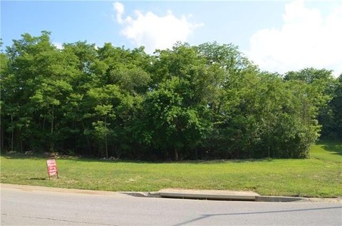
This exceptional 20-acre property, located at 15020 Horridge Road in Kansas City, Missouri (zip code 64119), presents a unique opportunity for both residential development and agricultural pursuits. The land boasts lush pasture and some trees, and with minimal effort, a pond could be restored, offering recreational possibilities such as fishing or swimming. The property's zoning, designated as R80 per city records, allows for subdivision into smaller lots, although verification by the buyer is recommended. Situated just outside Lees Summit city limits, this location provides convenient access to a variety of amenities, including shopping, restaurants, and the Creekmoor golf course. A significant advantage is the existing 100-foot easement on the north gated driveway, which provides access to the property behind but also offers the potential to create a separate driveway for this parcel. The asking price has been significantly reduced, making this a compelling investment opportunity for those seeking to build their dream home or generate income through sharecropping. The property's versatility and strategic location combine to create a rare and attractive proposition in the Kansas City real estate market. Latitude and longitude coordinates are 39.2015955, -94.5315029 respectively. Jackson County location.
Cap rate
Implied · in-place · derived from last sale + estimated NOIValue
AI, CAP & Alternative Use estimations · Realmo proprietary blendComparables
6 recent transactions · within 1.5 miComparable in this City
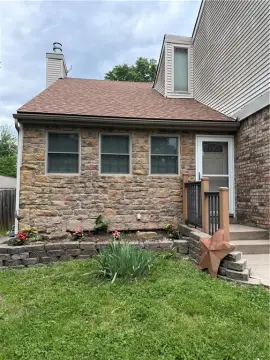
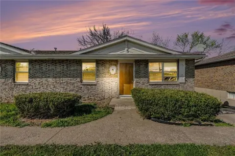
Similar Nearby for Sale
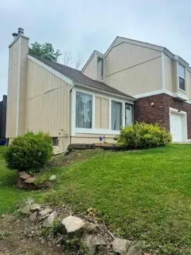
Similar Nearby for Lease
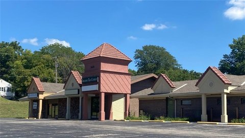

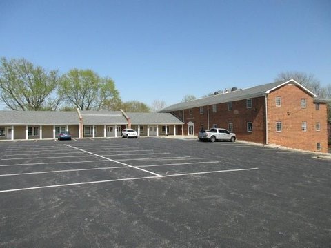


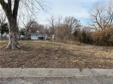
Property description
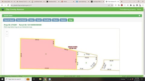
Physical attributes from public recordsZoning & alternative use
Costs & Benchmarks
Operating expenses, capex projections, utility benchmarks, and submarket comparables — all in one view.
Risks
Flood, climate, environmental, title, and tenant-concentration risk — surfaced with mitigations and source citations.


