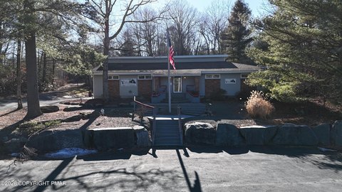
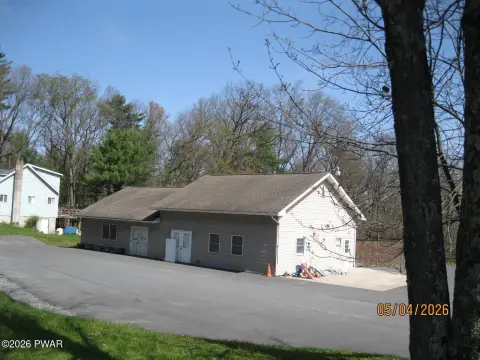
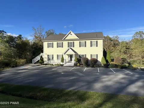
1441 Rte 590 Hawley, PA 18428-7797
Property profile & analytics
1441 Rte 590, Hawley, PA 18428-7797
- Turn key restaurants
- 1,350 SF
- 2.64 lot acres
Property ID
US73-3639259
The Realmo ID is a unique identifier assigned to every property, incorporating country codes and precise geo-coordinates for 300x300-foot land blocks. It enables standardized data collection and seamless integration of disparate sources such as ownership, tax, title data and physical specifications. By aggregating current and historical records, the Realmo ID powers advanced analytics and delivers deep, verifiable insights for real estate professionals.
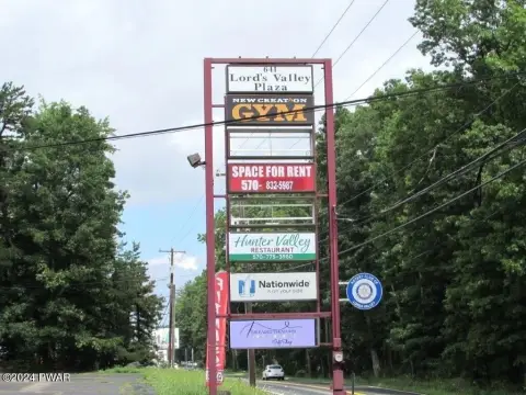
Location Intelligence
Current Use by Public Records
- Turn key restaurants
Property Details for 1441 Rte 590
- Year built
- 1960
- Lot size
- 2.64 lot acres
- Property type
- Turn key restaurants
- APN
- 012.00-01-46 -
- APU
- 12000146
Sales History
| Date | Price | Buyer | Seller | Deed Type | Mortgage |
|---|---|---|---|---|---|
| Feb 11, 2026 | — | Cm & Ra Holdings LLC | — | Deed · related | $40k · The Dime Bank |
| Sep 19, 2025 | — | Cm & Ra Holdings LLC | — | Deed · related | $656k · The Dime Bank |
| Nov 26, 2024 | $445,000 | Cm & Ra Holdings LLC | 1441 Route 590 Holdings LLC | Deed | $512k · The Dime Bank |
Value Estimations
based on Realmo’s proprietary methodology
-
AI approach
-
CAP approach
-
Comparable approach
-
Alternative Use
Get a detailed, property-specific estimation — fast and free
Location Insight
- Map
- Local Demand
- City
- Hawley
- County
- Pike
- State
- Pennsylvania
- Longitude
- -75.069
- Latitude
- 41.4976
- CBSA code
- 35620
- CBSA name
- NEW YORK-NORTHERN NEW JERSEY-LONG ISLAND, NY-NJ-PA METROPOLITAN STATISTICAL AREA
Property Tax & Assessments
Tax date
Tax Amount
Assessed Land Value
Assessed Improvement Value
Total Assessed Value
Applied Tax Rate
Land Market Value
Improvement Market Value
Total Market Value
2024
$8,523
$9,900
$63,080
$72,980
-
$39,600
$252,309
$291,909