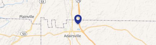
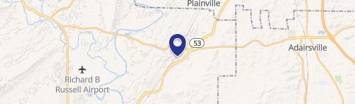
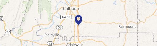
140 Manning NW Rd Adairsville, GA 30103-5390
Property profile & analytics
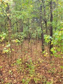
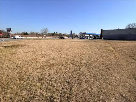
140 Manning NW Rd, Adairsville, GA 30103-5390
- Industrial land
- 1,213 SF
- 78.92 lot acres
Property ID
US22-1795409
The Realmo ID is a unique identifier assigned to every property, incorporating country codes and precise geo-coordinates for 300x300-foot land blocks. It enables standardized data collection and seamless integration of disparate sources such as ownership, tax, title data and physical specifications. By aggregating current and historical records, the Realmo ID powers advanced analytics and delivers deep, verifiable insights for real estate professionals.
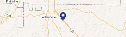
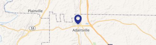
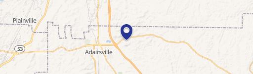
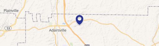
Location Intelligence
Current Use by Public Records
- Industrial land
Property Details for 140 Manning NW Rd
- Year built
- 1910
- Lot size
- 78.92 lot acres
- Zone code
- R1
- Property type
- Industrial land
- APN
- A011-0001-003
- APU
- A0110001003
Sales History
| Date | Price | Buyer | Seller | Deed Type | Mortgage |
|---|---|---|---|---|---|
| Mar 30, 2020 | — | Al8 LLC | — | Deed · related | $10.3M · United Cmnty Bk |
| May 31, 2018 | $1,461,200 | Al8 LLC | Cochran,pam S | Grant Deed | — |
| May 31, 2018 | — | Al8 LLC | Cochran,pam S | Quit Claim Deed · related | — |
| — | — | Al8 LLC | — | Deed Of Trust · related | $10.3M · United Cmnty Bk |
Value Estimations
based on Realmo’s proprietary methodology
-
AI approach
-
CAP approach
-
Comparable approach
-
Alternative Use
Get a detailed, property-specific estimation — fast and free
Location Insight
- Map
- Local Demand
- City
- Adairsville
- County
- Bartow
- State
- Georgia
- Longitude
- -84.9
- Latitude
- 34.3609
- CBSA code
- 12060
- CBSA name
- ATLANTA-SANDY SPRINGS-MARIETTA, GA METROPOLITAN STATISTICAL AREA
Property Tax & Assessments
Tax date
Tax Amount
Assessed Land Value
Assessed Improvement Value
Total Assessed Value
Applied Tax Rate
Land Market Value
Improvement Market Value
Total Market Value
2023
$22,934
$852,336
$0.00
$852,336
-
$2,130,840
$0.00
$2,130,840