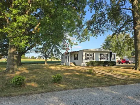
1305 Main St Orrville, OH 44667-1095
Property profile & analytics
1305 Main St, Orrville, OH 44667-1095
- Drive through restaurants
- 1,944 SF
- 0.81 lot acres
Property ID
US66-0383726
The Realmo ID is a unique identifier assigned to every property, incorporating country codes and precise geo-coordinates for 300x300-foot land blocks. It enables standardized data collection and seamless integration of disparate sources such as ownership, tax, title data and physical specifications. By aggregating current and historical records, the Realmo ID powers advanced analytics and delivers deep, verifiable insights for real estate professionals.
Location Intelligence
Current Use by Public Records
- Drive through restaurants
Property Details for 1305 Main St
- Year built
- 1994
- Lot size
- 0.81 lot acres
- Property type
- Drive through restaurants
- APN
- 59-01379-004
- APU
- 5901379004
Sales History
| Date | Price | Buyer | Seller | Deed Type | Mortgage |
|---|---|---|---|---|---|
| Jan 2, 2018 | — | Charter Foods North LLC | — | Loan Modification · related | $540M · Regions Bk |
| Jul 28, 2014 | $1,492,800 | Agree LP | Tb12pt INC | Grant Deed | — |
| Apr 27, 2005 | — | Tb 12 Pt INC | Simrick Equipment Leasing & R/ | Warranty Deed | — |
| — | — | Charter Foods North LLC | — | Deed Of Trust · related | $70M · Regions Fin'l |
Value Estimations
based on Realmo’s proprietary methodology
-
AI approach
-
CAP approach
-
Comparable approach
-
Alternative Use
Get a detailed, property-specific estimation — fast and free
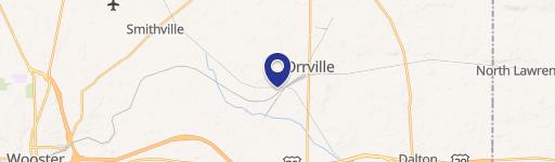
Location Insight
- Map
- Local Demand
- City
- Orrville
- County
- Wayne
- State
- Ohio
- Longitude
- -81.7643
- Latitude
- 40.8539
- CBSA code
- 49300
- CBSA name
- WOOSTER, OH MICROPOLITAN STATISTICAL AREA
Property Tax & Assessments
Tax date
Tax Amount
Assessed Land Value
Assessed Improvement Value
Total Assessed Value
Applied Tax Rate
Land Market Value
Improvement Market Value
Total Market Value
2023
$14,455
$36,820
$176,350
$213,170
-
$105,200
$503,850
$609,050