12520 Grant Dr Thornton, CO 80241-2504
Property profile & analytics
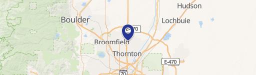
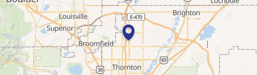
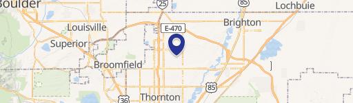
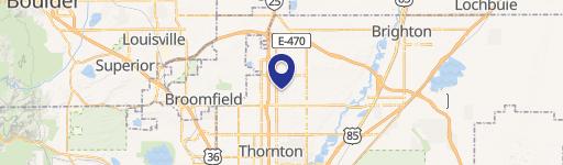
12520 Grant Dr, Thornton, CO 80241-2504
- Distribution centers
- 84,000 SF
- 5.81 lot acres
Property ID
US13-0440728
The Realmo ID is a unique identifier assigned to every property, incorporating country codes and precise geo-coordinates for 300x300-foot land blocks. It enables standardized data collection and seamless integration of disparate sources such as ownership, tax, title data and physical specifications. By aggregating current and historical records, the Realmo ID powers advanced analytics and delivers deep, verifiable insights for real estate professionals.
Location Intelligence
Current Use by Public Records
- Distribution centers
Property Details for 12520 Grant Dr
- Year built
- 1979
- Lot size
- 5.81 lot acres
- Property type
- Distribution centers
- APN
- R0024469
- APU
- R0024469
Sales History
| Date | Price | Buyer | Seller | Deed Type | Mortgage |
|---|---|---|---|---|---|
| Jul 25, 2012 | — | Mc Phoxe LLC | Huff,james C & Kathy C | Quit Claim Deed · related | $1M · First Citizens Bank & Trust Co |
| Oct 15, 2009 | — | James C Huff | Huff James C & Kathy C Trust | Quit Claim Deed · related | — |
| Oct 15, 2009 | $1,000,000 | Huff James C & Kathy C Trust | Highland Properties 5607 LLC | Grant Deed | — |
| Jan 27, 2009 | $1,500,000 | Huff James C & Kathy C Trust | Highland Properties 5607 LLC | Grant Deed | — |
| Jan 27, 2009 | — | Huff Kathy C Trust | Huff Kathy C Trust | Affidavit Of Death · related | — |
| Aug 28, 2007 | $2,500,000 | Highland Properties 5607 LLC | 12520 Grant Drive LLC | Grant Deed | $1.9M · Bank Of The West |
Value Estimations
based on Realmo’s proprietary methodology
-
AI approach
-
CAP approach
-
Comparable approach
-
Alternative Use
Get a detailed, property-specific estimation — fast and free
Location Insight
- Map
- Local Demand
- City
- Thornton
- County
- Adams
- State
- Colorado
- Longitude
- -104.984
- Latitude
- 39.9242
- CBSA code
- 19740
- CBSA name
- DENVER-AURORA, CO METROPOLITAN STATISTICAL AREA
Property Tax & Assessments
Tax date
Tax Amount
Assessed Land Value
Assessed Improvement Value
Total Assessed Value
Applied Tax Rate
Land Market Value
Improvement Market Value
Total Market Value
2023
$277,737
$479,900
$2,251,170
$2,731,070
-
$1,720,074
$7,315,726
$9,035,800