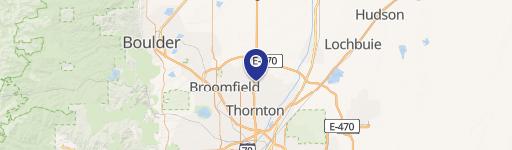
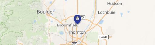
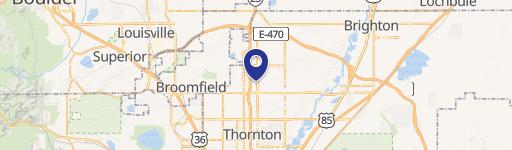
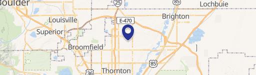
12300 Grant St Thornton, CO 80241-3805
Property profile & analytics
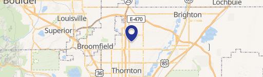
12300 Grant St, Thornton, CO 80241-3805
- Distribution centers
- 130,910 SF
- 9.90 lot acres
Property ID
US13-2603153
The Realmo ID is a unique identifier assigned to every property, incorporating country codes and precise geo-coordinates for 300x300-foot land blocks. It enables standardized data collection and seamless integration of disparate sources such as ownership, tax, title data and physical specifications. By aggregating current and historical records, the Realmo ID powers advanced analytics and delivers deep, verifiable insights for real estate professionals.
Location Intelligence
Current Use by Public Records
- Distribution centers
Property Details for 12300 Grant St
- Year built
- 1977
- Lot size
- 9.90 lot acres
- Property type
- Distribution centers
- APN
- R0024450
- APU
- R0024450
Sales History
| Date | Price | Buyer | Seller | Deed Type | Mortgage |
|---|---|---|---|---|---|
| Sep 16, 2020 | $16,000 | 12300 Grant LLC | Iliad Research | Grant Deed · related | $16M · Iliad Research And Trading LP |
| Aug 27, 2020 | — | Iliad Research & Trading LP | Public Trustee Of Adams County|ascent Solar Techno | Foreclosure · related | — |
| Oct 11, 2016 | — | Ascent Solar Technologies INC | — | Trustees Deed · related | $2M · Rdw Capital LLC |
| Feb 13, 2008 | $5,460,000 | Ascent Solar Technologies INC | Jn Properties LLC | Grant Deed | $7.5M · Colorado Housing & Finance Aut |
| — | — | Ascent Solar Technologies INC | — | Loan Modification · related | $575k · St George Investments LLC |
| — | — | Ascent Solar Technologies INC | — | Loan Modification · related | $575k · St George Investments LLC |
| — | — | Ascent Solar Technologies INC | — | Loan Modification · related | $2.9M · Rdw Capital LLC |
| — | — | Ascent Solar Technologies INC | — | Deed Of Trust · related | $575k · St George Investments LLC |
| — | — | Ascent Solar Technologies INC | — | Deed Of Trust · related | $6.1M · Global Ichiban Ltd |
Value Estimations
based on Realmo’s proprietary methodology
-
AI approach
- Method
- Estimation
- Statistic approach
- $6,355,000
- ML approach
- $7,110,000
-
Comparable approach
- Method
- Estimation
- AI Estimate
- $4,376,000
Market price range: $2.26M - $11.9M
Get a detailed, property-specific estimation — fast and free
Location Insight
- Map
- Local Demand
- City
- Thornton
- County
- Adams
- State
- Colorado
- Longitude
- -104.984
- Latitude
- 39.9204
- CBSA code
- 19740
- CBSA name
- DENVER-AURORA, CO METROPOLITAN STATISTICAL AREA
Property Tax & Assessments
Tax date
Tax Amount
Assessed Land Value
Assessed Improvement Value
Total Assessed Value
Applied Tax Rate
Land Market Value
Improvement Market Value
Total Market Value
2023
$416,808
$721,900
$3,061,420
$3,783,320
-
$2,587,464
$10,972,836
$13,560,300