12337 Hwy 90 Luling, LA 70070-5132
Property profile & analytics
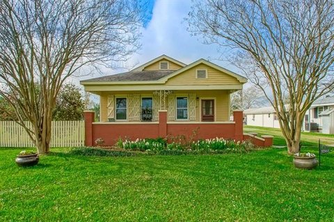
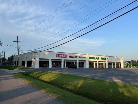
12337 Hwy 90, Luling, LA 70070-5132
- Retail space
- 3,893 SF
- 0.31 lot acres
Property ID
US36-0832719
The Realmo ID is a unique identifier assigned to every property, incorporating country codes and precise geo-coordinates for 300x300-foot land blocks. It enables standardized data collection and seamless integration of disparate sources such as ownership, tax, title data and physical specifications. By aggregating current and historical records, the Realmo ID powers advanced analytics and delivers deep, verifiable insights for real estate professionals.
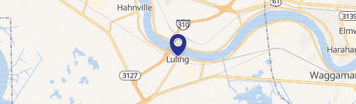
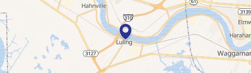
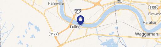
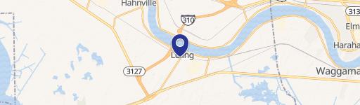
Location Intelligence
Current Use by Public Records
- Retail space
Property Details for 12337 Hwy 90
- Year built
- 2011
- Lot size
- 0.31 lot acres
- Property type
- Retail space
- APN
- -7- 604 046 0A-1B
- APU
- 76040460A1B
Sales History
| Date | Price | Buyer | Seller | Deed Type | Mortgage |
|---|---|---|---|---|---|
| Jun 29, 2007 | $164,000 | Bask Enterprise LLC | Owner Name Unavailable | Grant Deed · related | — |
| — | — | Bask Ent LLC | — | Deed Of Trust · related | $509k · Capital One |
| — | — | Bask Enterprise LLC | — | Deed Of Trust · related | $265k · New Orleans Regional Business |
Value Estimations
based on Realmo’s proprietary methodology
-
Comparable approach
- Method
- Estimation
- Statistic Estimate
- $471,000
- AI Estimate
- $483,000
Market price range: $225k - $471kMarket price range: $133k - $484k
Get a detailed, property-specific estimation — fast and free
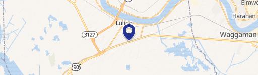
Location Insight
- Map
- Local Demand
- City
- Luling
- County
- Saint Charles
- State
- Louisiana
- Longitude
- -90.3509
- Latitude
- 29.9113
- CBSA code
- 35380
- CBSA name
- NEW ORLEANS-METAIRIE-KENNER, LA METROPOLITAN STATISTICAL AREA
Property Tax & Assessments
Tax date
Tax Amount
Assessed Land Value
Assessed Improvement Value
Total Assessed Value
Applied Tax Rate
Land Market Value
Improvement Market Value
Total Market Value
2023
$6,576
$11,310
$47,596
$58,906
-
$113,100
$317,307
$430,407