12332 Interstate 10 San Antonio, TX 78230-1058
Property profile & analytics
12332 Interstate 10, San Antonio, TX 78230-1058
- Retail space
- 86,496 SF
- 5.93 lot acres
Property ID
US82-4345646
The Realmo ID is a unique identifier assigned to every property, incorporating country codes and precise geo-coordinates for 300x300-foot land blocks. It enables standardized data collection and seamless integration of disparate sources such as ownership, tax, title data and physical specifications. By aggregating current and historical records, the Realmo ID powers advanced analytics and delivers deep, verifiable insights for real estate professionals.
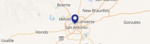
Location Intelligence
Current Use by Public Records
- Retail space
Property Details for 12332 Interstate 10
- Year built
- 1979
- Lot size
- 5.93 lot acres
- Property type
- Retail space
- APN
- 14862-000-0104
- APU
- 148620000104
Sales History
| Date | Price | Buyer | Seller | Deed Type | Mortgage |
|---|---|---|---|---|---|
| Nov 5, 2021 | — | Casey Ub Property Owner Ltd | Gaiser O Banion Limited Partnership | Venders Lien | $5.8M · Gaiser Obanion Limited Partnership |
Value Estimations
based on Realmo’s proprietary methodology
-
AI approach
- Method
- Estimation
- ML approach
- $955,000
-
Comparable approach
- Method
- Estimation
- AI Estimate
- $1,616,000
Market price range: $1.62M - $5.33M
Get a detailed, property-specific estimation — fast and free
Location Insight
- Map
- Local Demand
- City
- San Antonio
- County
- Bexar
- State
- Texas
- Longitude
- -98.5916
- Latitude
- 29.5589
- CBSA code
- 41700
- CBSA name
- SAN ANTONIO, TX METROPOLITAN STATISTICAL AREA
Property Tax & Assessments
Tax date
Tax Amount
Assessed Land Value
Assessed Improvement Value
Total Assessed Value
Applied Tax Rate
Land Market Value
Improvement Market Value
Total Market Value
2023
$113,685
$4,023,260
$926,740
$4,950,000
-
$4,023,260
$926,740
$4,950,000