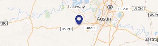
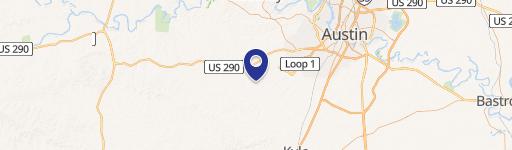
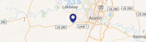
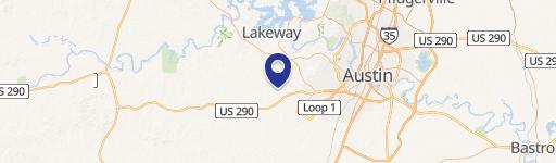
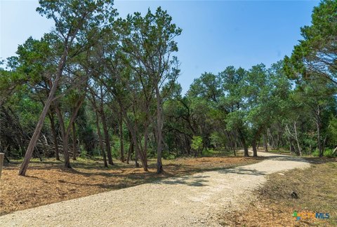
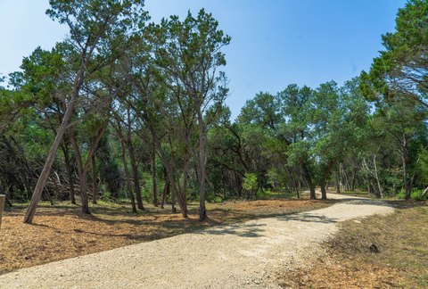
12005 Hwy 290 Austin, TX 78737-2809
Property profile & analytics
12005 Hwy 290, Austin, TX 78737-2809
- Drive through restaurants
- 1,848 SF
- 0.57 lot acres
Property ID
US82-5143407
The Realmo ID is a unique identifier assigned to every property, incorporating country codes and precise geo-coordinates for 300x300-foot land blocks. It enables standardized data collection and seamless integration of disparate sources such as ownership, tax, title data and physical specifications. By aggregating current and historical records, the Realmo ID powers advanced analytics and delivers deep, verifiable insights for real estate professionals.
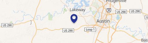
Location Intelligence
Current Use by Public Records
- Drive through restaurants
Property Details for 12005 Hwy 290
- Year built
- 1980
- Construction
- WOOD FRAME
- Lot size
- 0.57 lot acres
- Property type
- Drive through restaurants
- APN
- 416700202
- APU
- 416700202
Sales History
| Date | Price | Buyer | Seller | Deed Type | Mortgage |
|---|---|---|---|---|---|
| Apr 4, 2007 | — | 12005 Highway 290 West | Malott,j D & F R Living Trust | Warranty Deed · related | — |
| Feb 20, 2007 | — | Wassom Ent INC | Malott J D & F R Living Trust | Grant Deed · related | — |
| — | — | 12005 Highway 290 West LP | — | Deed Of Trust · related | — |
Value Estimations
based on Realmo’s proprietary methodology
-
AI approach
-
CAP approach
-
Comparable approach
-
Alternative Use
Get a detailed, property-specific estimation — fast and free
Location Insight
- Map
- Local Demand
- City
- Austin
- County
- Travis
- State
- Texas
- Longitude
- -97.9683
- Latitude
- 30.2109
- CBSA code
- 12420
- CBSA name
- AUSTIN-ROUND ROCK, TX METROPOLITAN STATISTICAL AREA
Property Tax & Assessments
Tax date
Tax Amount
Assessed Land Value
Assessed Improvement Value
Total Assessed Value
Applied Tax Rate
Land Market Value
Improvement Market Value
Total Market Value
2022
$0.00
$325,039
$378,121
$703,160
-
$325,039
$378,121
$703,160