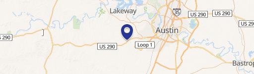
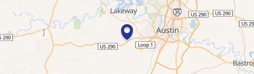
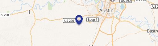
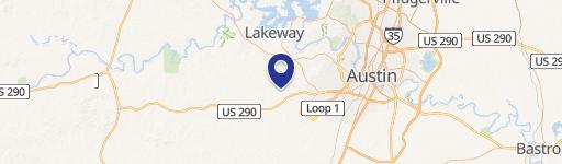
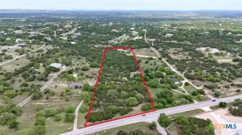
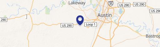
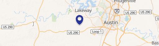
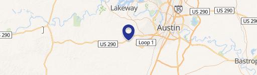
10900 Hwy 290 Austin, TX 78737-1934
Property profile & analytics
10900 Hwy 290, Austin, TX 78737-1934
- Grocery and convenience stores
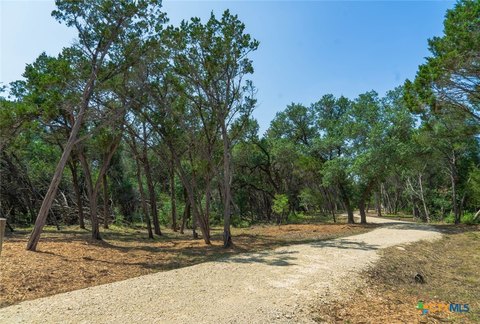
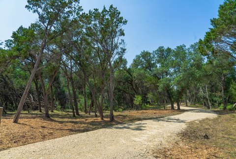
- 6,286 SF
- 1.49 lot acres
Property ID
US82-0773194
The Realmo ID is a unique identifier assigned to every property, incorporating country codes and precise geo-coordinates for 300x300-foot land blocks. It enables standardized data collection and seamless integration of disparate sources such as ownership, tax, title data and physical specifications. By aggregating current and historical records, the Realmo ID powers advanced analytics and delivers deep, verifiable insights for real estate professionals.
Location Intelligence
Current Use by Public Records
- Grocery and convenience stores
Property Details for 10900 Hwy 290
- Year built
- 2001
- Construction
- CONCRETE
- Lot size
- 1.49 lot acres
- Property type
- Grocery and convenience stores
- APN
- 412680101
- APU
- 412680101
Sales History
| Date | Price | Buyer | Seller | Deed Type | Mortgage |
|---|---|---|---|---|---|
| Jan 21, 2009 | — | Faban Realestate Group LLC | Broach Properties LLC | Grant Deed | $1.6M · Security State Bank |
| Jan 15, 2009 | — | Broach Properties LLC | Mallory,randall R | Grant Deed · related | — |
| — | — | Faban Realestate Group LLC | — | Deed Of Trust · related | $1.4M · Stillwater Nat'l Bank & Trust |
| — | — | Faban Realestate Group LLC | — | Loan Modification · related | $1.1M · Bank Snb NA |
| — | — | Faban Realestate Group LLC | — | Loan Modification · related | $1.1M · Bank Snb NA |
Value Estimations
based on Realmo’s proprietary methodology
-
AI approach
-
CAP approach
-
Comparable approach
-
Alternative Use
Get a detailed, property-specific estimation — fast and free
Location Insight
- Map
- Local Demand
- City
- Austin
- County
- Travis
- State
- Texas
- Longitude
- -97.9567
- Latitude
- 30.2222
- CBSA code
- 12420
- CBSA name
- AUSTIN-ROUND ROCK, TX METROPOLITAN STATISTICAL AREA
Property Tax & Assessments
Tax date
Tax Amount
Assessed Land Value
Assessed Improvement Value
Total Assessed Value
Applied Tax Rate
Land Market Value
Improvement Market Value
Total Market Value
2022
$21,406
$843,757
$856,243
$1,700,000
-
$843,757
$856,243
$1,700,000