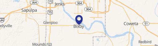
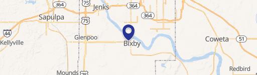
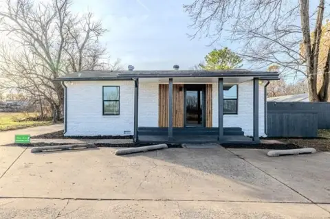
11710 Memorial Dr Bixby, OK 74008-2052
-
North Heights Church of Christ Church
It is intended to accommodate existing development of mixed commercial uses which are well established, while providing a degree of protection to adjacent residential areas, and to accommodate the grouping of certain commercial and light industrial uses which are compatible with one another.
Cap rate
Implied · in-place · derived from last sale + estimated NOIValue
AI, CAP & Alternative Use estimations · Realmo proprietary blendProperty tax & assessments
Tax year 2023Comparables
6 recent transactions · within 1.5 miComparable in this City


Similar Nearby for Sale


Similar Nearby for Lease


Property description
Physical attributes from public recordsZoning & alternative use
CG · Bixby, OKIt is intended to accommodate existing development of mixed commercial uses which are well established, while providing a degree of protection to adjacent residential areas, and to accommodate the grouping of certain commercial and light industrial uses which are compatible with one another.
No recorded transactions found for this property.
Costs & Benchmarks
Operating expenses, capex projections, utility benchmarks, and submarket comparables — all in one view.
Risks
Flood, climate, environmental, title, and tenant-concentration risk — surfaced with mitigations and source citations.


