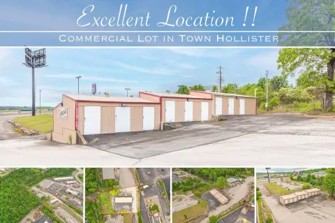
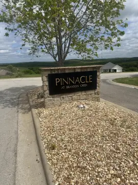
10745 Historic Hwy 165 Hollister, MO 65672-6237
Property profile & analytics
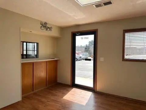
10745 Historic Hwy 165, Hollister, MO 65672-6237
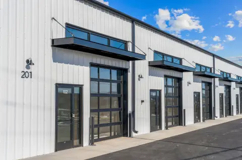
- Office buildings
- 1,871 SF
- 2.18 lot acres
Property ID
US48-1180366
The Realmo ID is a unique identifier assigned to every property, incorporating country codes and precise geo-coordinates for 300x300-foot land blocks. It enables standardized data collection and seamless integration of disparate sources such as ownership, tax, title data and physical specifications. By aggregating current and historical records, the Realmo ID powers advanced analytics and delivers deep, verifiable insights for real estate professionals.
Location Intelligence
Current Use by Public Records
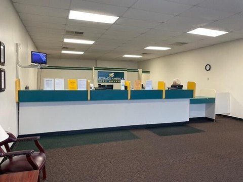
- Tompkins Wellness Center / Pediatrician / Physician
Property Details for 10745 Historic Hwy 165
- Year built
- 2005
- Lot size
- 2.18 lot acres
- Property type
- Office buildings
- APN
- 17-4.0-17-003-002-002.002
- APU
- 174017003002002002
Sales History
| Date | Price | Buyer | Seller | Deed Type | Mortgage |
|---|---|---|---|---|---|
| Aug 5, 2025 | — | White River Group LLC | Tompkins Weliness Center INC | Warranty Deed | $448k · Cs Bank |
| Apr 21, 2010 | — | D Bell Properties LLC | Peoples Bank Of The Ozarks | Special Warranty Deed | $157k · Ozark Mountain Bank |
| Feb 23, 2010 | $140,000 | Peoples Bank Of The Ozarks | David G Elston | Trustees Deed · related | — |
Value Estimations
based on Realmo’s proprietary methodology
-
AI approach
-
CAP approach
-
Comparable approach
-
Alternative Use
Get a detailed, property-specific estimation — fast and free
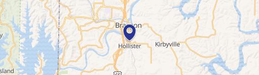
Location Insight
- Map
- Local Demand
- City
- Hollister
- County
- Taney
- State
- Missouri
- Longitude
- -93.237
- Latitude
- 36.6054
- CBSA code
- 14700
- CBSA name
- BRANSON, MO MICROPOLITAN STATISTICAL AREA
Property Tax & Assessments
Tax date
Tax Amount
Assessed Land Value
Assessed Improvement Value
Total Assessed Value
Applied Tax Rate
Land Market Value
Improvement Market Value
Total Market Value
2023
$3,026
$0.00
$0.00
$53,080
-
$47,481
$118,392
$165,873