10700 Reinking Rd, Kansas City, MO 64156
- Commercial real estate
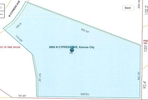
- 49.22 lot acres
Current Use by Public Records
- Commercial real estate
Property Details for 10700 Reinking Rd
- Lot size
- 49.22 lot acres
- Property type
- Commercial real estate
Description
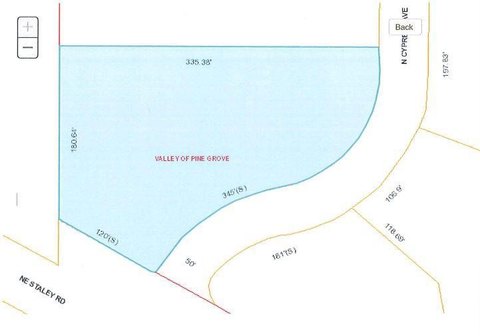
This exceptional 49.22-acre property, located at 10700 NE Reinking Road in Kansas City, Missouri (zip code 64156), presents a unique investment opportunity. Situated in Clay County, this farm boasts a highly desirable location at the southeast corner of the Highway 435 interchange, offering unparalleled accessibility and visibility. The existing home on the property is considered non-functional and slated for demolition, making the land ideal for redevelopment. The expansive acreage provides ample space for a variety of uses, making it suitable for multiple development scenarios. The asking price for this prime piece of land is $1,800,000. Its strategic location near a major highway interchange makes it an attractive prospect for businesses seeking high visibility and convenient access. The property's agricultural classification opens doors to various farming or agricultural ventures. Given its size and location, this property presents a compelling investment opportunity with significant potential for future growth and development. The latitude and longitude coordinates are 39.286737 and -94.504736 respectively. Serious inquiries are encouraged.
Value Estimations
-
AI approach
-
CAP approach
-
Comparable approach
-
Alternative Use
Get a detailed, property-specific estimation — fast and free
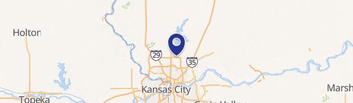
Location Insight
- Map
- Local Demand
- City
- Kansas City
- County
- Clay
- State
- Missouri
- Longitude
- -94.504736
- Latitude
- 39.286737