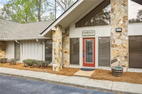
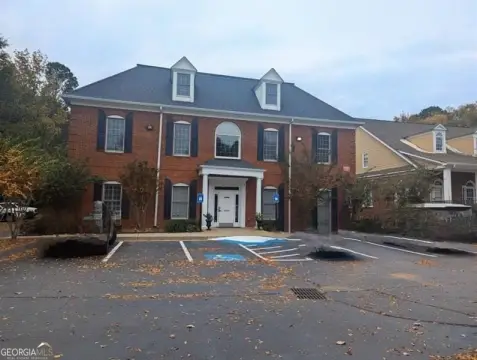
1020 Mansell Rd Roswell, GA 30076-1508
Property profile & analytics
1020 Mansell Rd, Roswell, GA 30076-1508
- Office buildings
- 55,993 SF
- 9.34 lot acres
Property ID
US22-1307693
The Realmo ID is a unique identifier assigned to every property, incorporating country codes and precise geo-coordinates for 300x300-foot land blocks. It enables standardized data collection and seamless integration of disparate sources such as ownership, tax, title data and physical specifications. By aggregating current and historical records, the Realmo ID powers advanced analytics and delivers deep, verifiable insights for real estate professionals.
Location Intelligence
Current Use by Public Records
- Office buildings
Property Details for 1020 Mansell Rd
- Year built
- 1987
- Lot size
- 9.34 lot acres
- Zone code
- R4
- Property type
- Office buildings
- APN
- 12 227005430321
- APU
- 12227005430321
Sales History
| Date | Price | Buyer | Seller | Deed Type | Mortgage |
|---|---|---|---|---|---|
| Jun 28, 2006 | — | A Colonial Center LLC | Colonial,realty Linited Pa | Quit Claim Deed · related | — |
| Jun 28, 2006 | $20,629,500 | A Colonial Centers LLC | Colonial,realty Limited Pa | Grant Deed · related | — |
Value Estimations
based on Realmo’s proprietary methodology
-
CAP approach
- CAP Return
- Estimation
- 6%
- $13,330,000
- 6.5%
- $12,305,000
- 7%
- $11,425,000
-
Comparable approach
- Method
- Estimation
- Statistic Estimate
- $21,676,000
- AI Estimate
- $16,820,000
Market price range: $8.95M - $38.0MMarket price range: $8.71M - $16.8M -
Alternative Use
- Use
- Estimation
- OFFICE BUILDING
- $14,580,000 Current use
- RETAIL STORES
- $18,870,000 Change: +29% Conversion: Moderate
- NEIGHBORHOOD: SHOPPING CENTER
- $18,400,000 Change: +26% Conversion: Difficult
- MEDICAL BUILDING
- $17,395,000 Change: +19% Conversion: Easy
- AUTO REPAIR, GARAGE
- $16,320,000 Change: +12% Conversion: Difficult
Get a detailed, property-specific estimation — fast and free
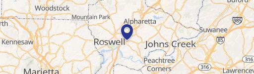
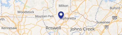
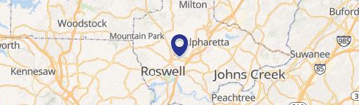
Location Insight
- Map
- Local Demand
- City
- Roswell
- County
- Fulton
- State
- Georgia
- Longitude
- -84.3289
- Latitude
- 34.0405
- CBSA code
- 12060
- CBSA name
- ATLANTA-SANDY SPRINGS-MARIETTA, GA METROPOLITAN STATISTICAL AREA
Property Tax & Assessments
Tax date
Tax Amount
Assessed Land Value
Assessed Improvement Value
Total Assessed Value
Applied Tax Rate
Land Market Value
Improvement Market Value
Total Market Value
2023
$109,916
$1,008,600
$2,511,400
$3,520,000
-
$2,521,500
$6,278,500
$8,800,000