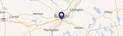
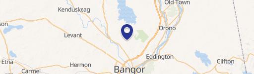
101 Banair Rd Bangor, ME 04401-8706
-
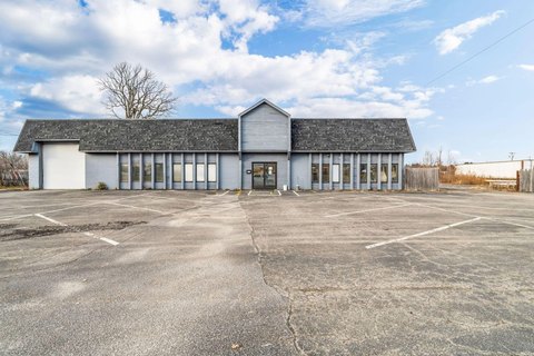
Commercial Delivery Systems Trucking Company
ving activities if a land development permit is required under § 165-33 . (5) Any use, including permitted uses, in the NSD, USD, DDD, WDD, ADD (except for airport traffic control and direct aviation support uses), BPD, UID, G & ISD, S & PS, GC & S, T & S and I & S Districts (as defined in Articles XIII , XIV and XV of this chapter). (6) Any use or site deve…
Cap rate
Implied · in-place · derived from last sale + estimated NOIValue
AI, CAP & Alternative Use estimations · Realmo proprietary blendProperty tax & assessments
Tax year 2024Comparables
6 recent transactions · within 1.5 miComparable in this City


Similar Nearby for Sale


Similar Nearby for Lease


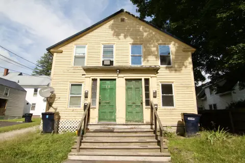
Property description
Physical attributes from public recordsZoning & alternative use
UID · Bangor, MEving activities if a land development permit is required under § 165-33 . (5) Any use, including permitted uses, in the NSD, USD, DDD, WDD, ADD (except for airport traffic control and direct aviation support uses), BPD, UID, G & ISD, S & PS, GC & S, T & S and I & S Districts (as defined in Articles XIII , XIV and XV of this chapter). (6) Any use or site development meeting the definition of "subdivision" in 30-A M.R.S.A. § 4401. (7) (Reser
Costs & Benchmarks
Operating expenses, capex projections, utility benchmarks, and submarket comparables — all in one view.
Risks
Flood, climate, environmental, title, and tenant-concentration risk — surfaced with mitigations and source citations.


